Transport Functions
Port
Road
Hub Profile
Place type
Populated place
Region
North Carolina
Time zone
America/New_York
Elevation
647 m
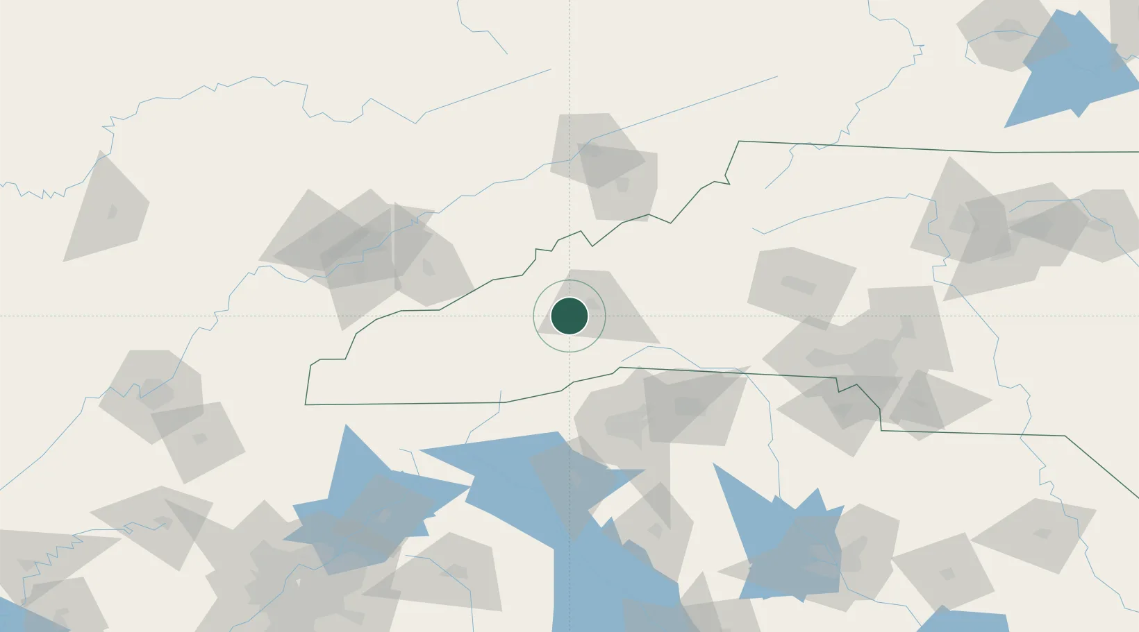
Location
Nearby Logistics Neighbours
Ports
- 1Beaufort392 km
- 2Georgetown395 km
- 3Port Royal398 km
- 4Charleston399 km
- 5Savannah412 km
Airports
Trade Zones
- 1FTZ No. 038 Spartanburg County83 km
- 2FTZ No. 204 Tri-Cities109 km
- 3FTZ No. 148 Knoxville147 km
- 4FTZ No. 057 Mecklenburg County150 km
- 5FTZ No. 127 West Columbia224 km
DatabookThe Record of Consolidated Knowledge
United States beyond logistics?