Transport Functions
Multimodal
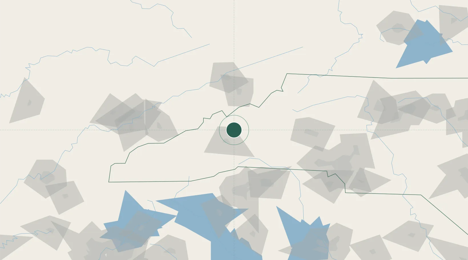
Hub Profile
Place type
Populated place
Region
North Carolina
Time zone
America/New_York
Elevation
671 m
Location
Nearby Logistics Neighbours
Cities
- 1Woodfin19 km
- 2Asheville21 km
- 3Marshall21 km
- 4Burnsville22 km
- 5Leicester25 km
Ports
- 1Georgetown394 km
- 2Charleston405 km
- 3Beaufort405 km
- 4Port Royal412 km
- 5Savannah429 km
Airports
Trade Zones
DatabookThe Record of Consolidated Knowledge
United States beyond logistics?