UN/LOCODE hub · United States
USSU4
Summer Shade
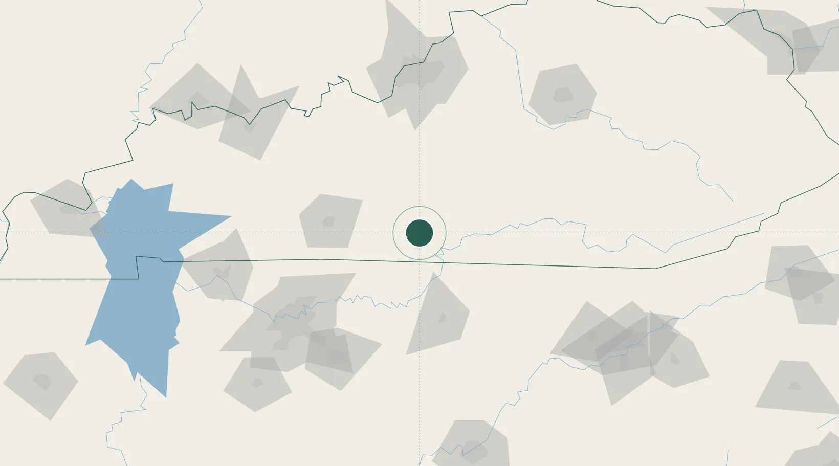
36.8833°, -85.7000°
307
Population
2
Transport functions
Transport Functions
Road
Multimodal
Hub Profile
Place type
Populated place
Region
Kentucky
Population
307
Time zone
America/Chicago
Elevation
273 m
Location
Nearby Logistics Neighbours
Cities
- 1Edmonton13 km
- 2Hestand27 km
- 3Burkesville32 km
- 4Cave City37 km
- 5Celina41 km
Ports
- 1Gary545 km
- 2Michigan City549 km
- 3Indiana Harbor552 km
- 4Calumet Harbor561 km
- 5Port Clinton568 km
Airports
Trade Zones
- 1FTZ No. 078 Nashville145 km
- 2FTZ No. 029 Louisville154 km
- 3FTZ No. 148 Knoxville165 km
- 4FTZ No. 134 Chattanooga201 km
- 5FTZ No. 177 Evansville209 km
DatabookThe Record of Consolidated Knowledge
United States beyond logistics?