UN/LOCODE hub · United States
USEDC
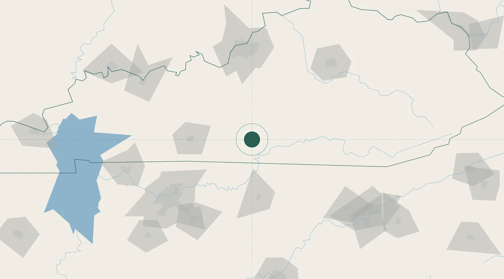
Edmonton
36.9667°, -85.6000°
1,568
Population
2
Transport functions
Transport Functions
Road
Multimodal
Hub Profile
Place type
Provincial seat
Region
Kentucky
Population
1,568
Time zone
America/Chicago
Elevation
252 m
Location
Nearby Logistics Neighbours
Cities
- 1Summer Shade13 km
- 2Burkesville29 km
- 3Hestand35 km
- 4Cave City37 km
- 5Munfordville42 km
Ports
- 1Gary538 km
- 2Michigan City542 km
- 3Indiana Harbor546 km
- 4Calumet Harbor555 km
- 5Port Clinton556 km
Airports
Trade Zones
- 1FTZ No. 029 Louisville146 km
- 2FTZ No. 078 Nashville157 km
- 3FTZ No. 148 Knoxville164 km
- 4FTZ No. 134 Chattanooga209 km
- 5FTZ No. 177 Evansville211 km
DatabookThe Record of Consolidated Knowledge
United States beyond logistics?