UN/LOCODE hub · United States
USCCS
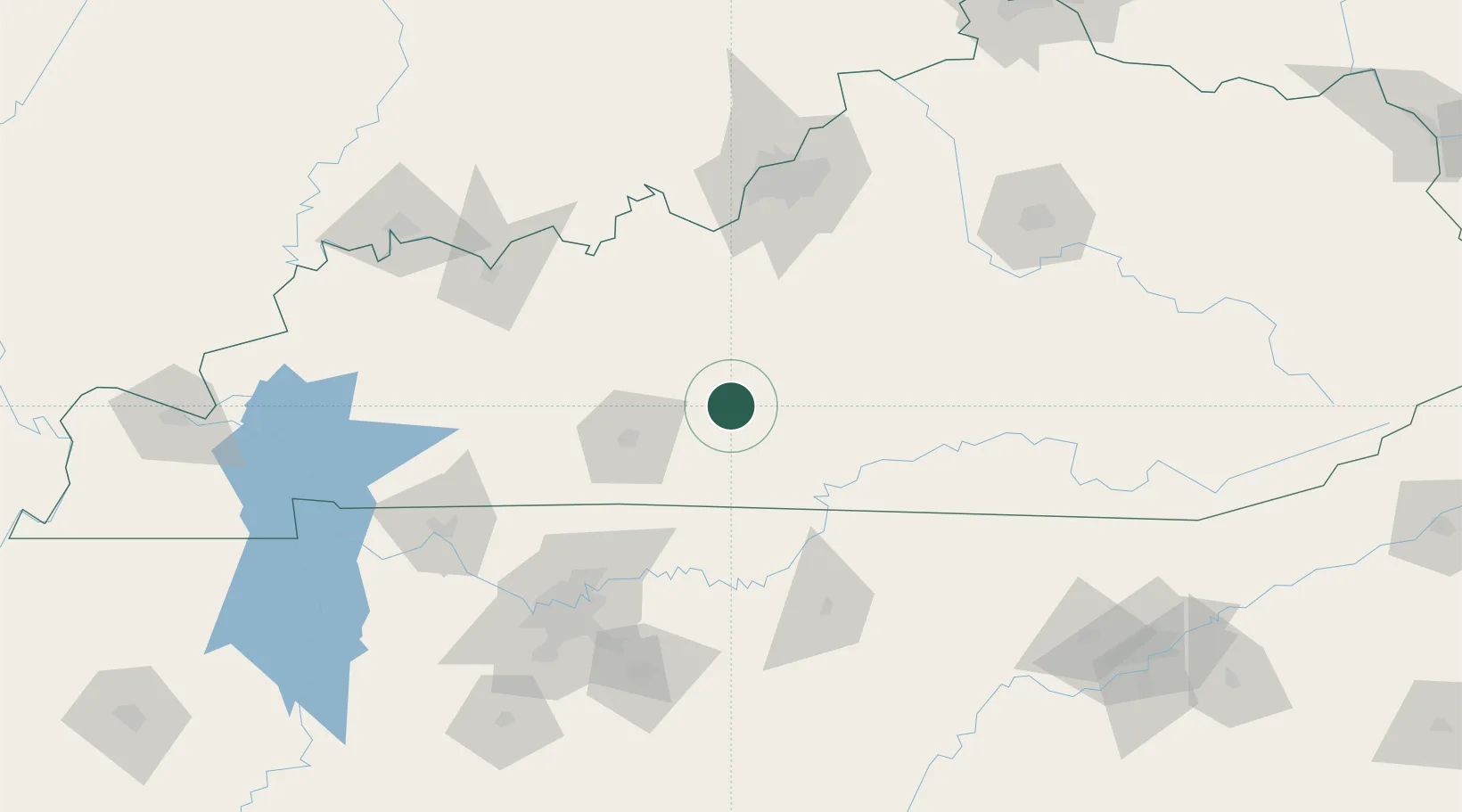
Cave City
37.1333°, -85.9667°
2,394
Population
2
Transport functions
Transport Functions
Port
Road
Hub Profile
Place type
Populated place
Region
Kentucky
Population
2,394
Time zone
America/Chicago
Elevation
193 m
Location
Nearby Logistics Neighbours
Cities
- 1Munfordville17 km
- 2Summer Shade37 km
- 3Edmonton37 km
- 4Sonora43 km
- 5Leitchfield47 km
Ports
- 1Gary512 km
- 2Michigan City518 km
- 3Indiana Harbor520 km
- 4Calumet Harbor529 km
- 5Chicago546 km
Airports
Trade Zones
- 1FTZ No. 029 Louisville127 km
- 2FTZ No. 078 Nashville144 km
- 3FTZ No. 177 Evansville174 km
- 4FTZ No. 148 Knoxville201 km
- 5FTZ No. 047 Boone County224 km
DatabookThe Record of Consolidated Knowledge
United States beyond logistics?