Medium airport · United States

Lake Cumberland Regional AirportKSME
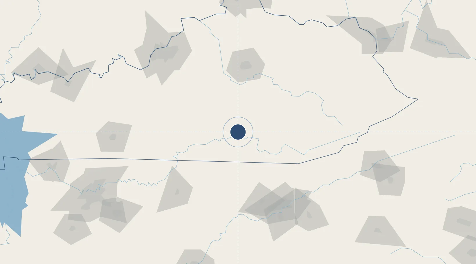
37.0534°, -84.6159°
5,801 ft
Longest runway
1
Runways
927 ft
Elevation

Runway & Layout

Lake Cumberland Regional Airport runway & taxiway layout
Runway & taxiway layout — OpenStreetMap (ODbL) / OurAirports

Radio Frequencies

AWOS
124.85 MHz
AWOS 3
CNTR
121.325 MHz
INDIANAPOLIS CNTR
RDO
122.55 MHz
LOUISVILLE RDO
UNIC
122.8 MHz
CTAF/UNICOM
OurAirports

Runways · 1

RunwayDimensions SurfaceTrue headingLit
05/23 5,801 × 100ft Asphalt 043°
OurAirports

Airport Specifications

IATA code
SME
OurAirports
ICAO code
KSME
OurAirports
Airport class
Medium airport
OurAirports
Scheduled service
No
OurAirports
Runway surface
Asphalt
OurAirports
Served city
Somerset
OurAirports

Location

Location of KSME
Natural Earth 10m (public domain) · Kentucky · KSME · 37.05, -84.62GoogleOSMYandex

Nearby Logistics Neighbours

Airports
  1. 1London-Corbin Airport/Magee Field47 km
  2. 2Central Kentucky Regional Airport69 km
  3. 3Blue Grass Airport109 km
  4. 4Crossville Memorial Airport Whitson Field130 km
  5. 5Julian Carroll Airport130 km
Nearest neighbours — logibook spatial index (haversine) over the source coordinates
Cities
  1. 1Bronston8 km
  2. 2Burnside8 km
  3. 3Science Hill13 km
  4. 4Dunnville38 km
  5. 5Liberty41 km
Nearest neighbours — logibook spatial index (haversine) over the source coordinates
Ports
  1. 1Huron515 km
  2. 2Sandusky516 km
  3. 3Port Clinton517 km
  4. 4Vermilion524 km
  5. 5Toledo526 km
Nearest neighbours — logibook spatial index (haversine) over the source coordinates
Trade Zones
  1. 1FTZ No. 148 Knoxville123 km
  2. 2FTZ No. 029 Louisville171 km
  3. 3FTZ No. 204 Tri-Cities207 km
  4. 4FTZ No. 047 Boone County214 km
  5. 5FTZ No. 046 CIncinnati228 km
Nearest neighbours — logibook spatial index (haversine) over the source coordinates
DatabookThe Record of Consolidated Knowledge
United States beyond logistics?
Browse databook

All Sources

AirportsOurAirports
Public domain
Portsthe NGA World Port Index
Public domain (US gov)
LocationsUN/LOCODE
UN/LOCODE — free
Trade Zonesthe World Bank SEZ database
CC BY 4.0
Trade ZonesOpen Zone Map
CC BY
InfrastructureOpenStreetMap
ODbL 1.0
← United States airports