UN/LOCODE hub · United States
USCT6
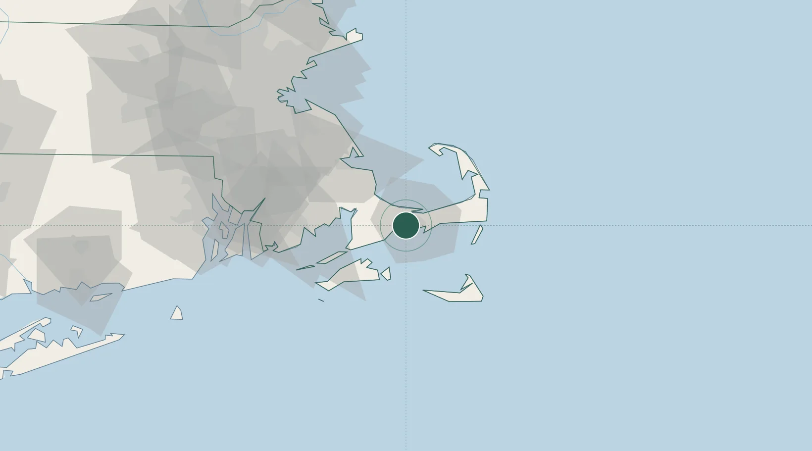
Centerville
41.6500°, -70.3667°
9,190
Population
2
Transport functions
Transport Functions
Road
Multimodal
Hub Profile
Place type
Populated place
Region
Massachusetts
Population
9,190
Time zone
America/New_York
Elevation
14 m
Location
Nearby Logistics Neighbours
Cities
- 1Osterville2 km
- 2West Yarmouth10 km
- 3Yarmouth12 km
- 4South Yarmouth15 km
- 5East Falmouth18 km
Ports
- 1Hyannis7 km
- 2Falmouth24 km
- 3Woods Hole29 km
- 4Vineyard Haven30 km
- 5Edgartown32 km
Airports
Trade Zones
- 1FTZ No. 028 New Bedford53 km
- 2FTZ No. 105 Providence and North Kingstown92 km
- 3FTZ No. 027 Boston96 km
- 4FTZ No. 208 New London148 km
- 5FTZ No. 081 Portsmouth161 km
DatabookThe Record of Consolidated Knowledge
United States beyond logistics?