Transport Functions
Multimodal
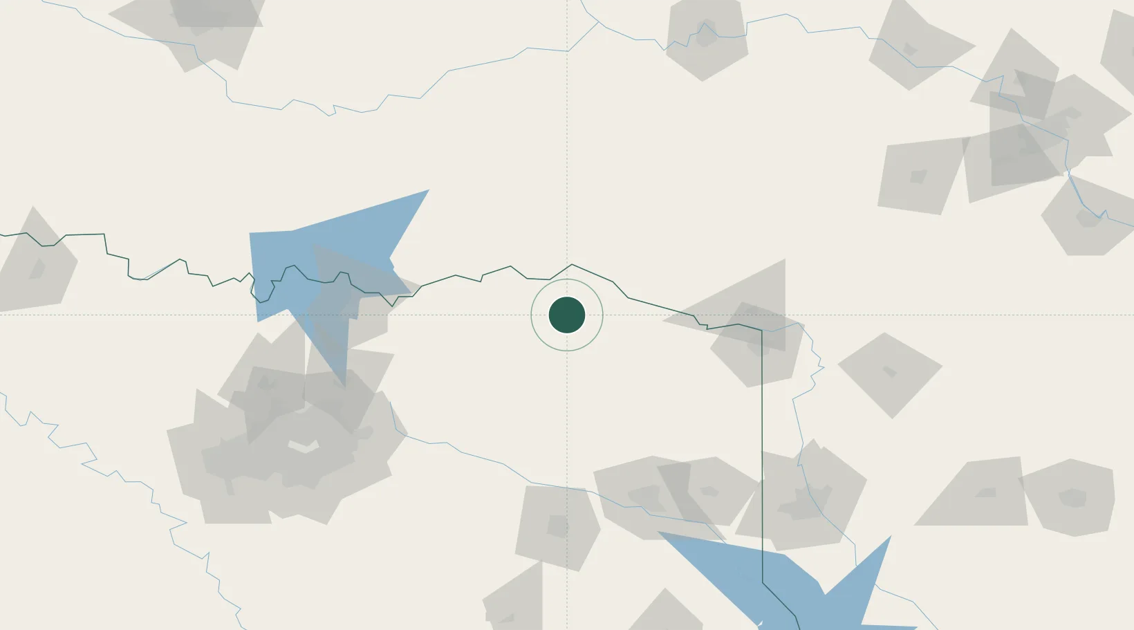
Hub Profile
Place type
Populated place
Region
Texas
Population
705
Time zone
America/Chicago
Elevation
147 m
Location
Nearby Logistics Neighbours
Cities
- 1Deport16 km
- 2Powderly30 km
- 3Arthur City33 km
- 4Sumner40 km
- 5Sawyer40 km
Ports
- 1Beaumont412 km
- 2Orange422 km
- 3Port Neches424 km
- 4Lake Charles426 km
- 5Houston434 km
Airports
Trade Zones
- 1FTZ No. 258 Bowie County57 km
- 2FTZ No. 227 Durant113 km
- 3FTZ No. 234 Gregg County130 km
- 4FTZ No. 269 Athens172 km
- 5FTZ No. 145 Shreveport179 km
DatabookThe Record of Consolidated Knowledge
United States beyond logistics?