Transport Functions
Multimodal
Hub Profile
Place type
Populated place
Region
Texas
Time zone
America/Chicago
Elevation
131 m
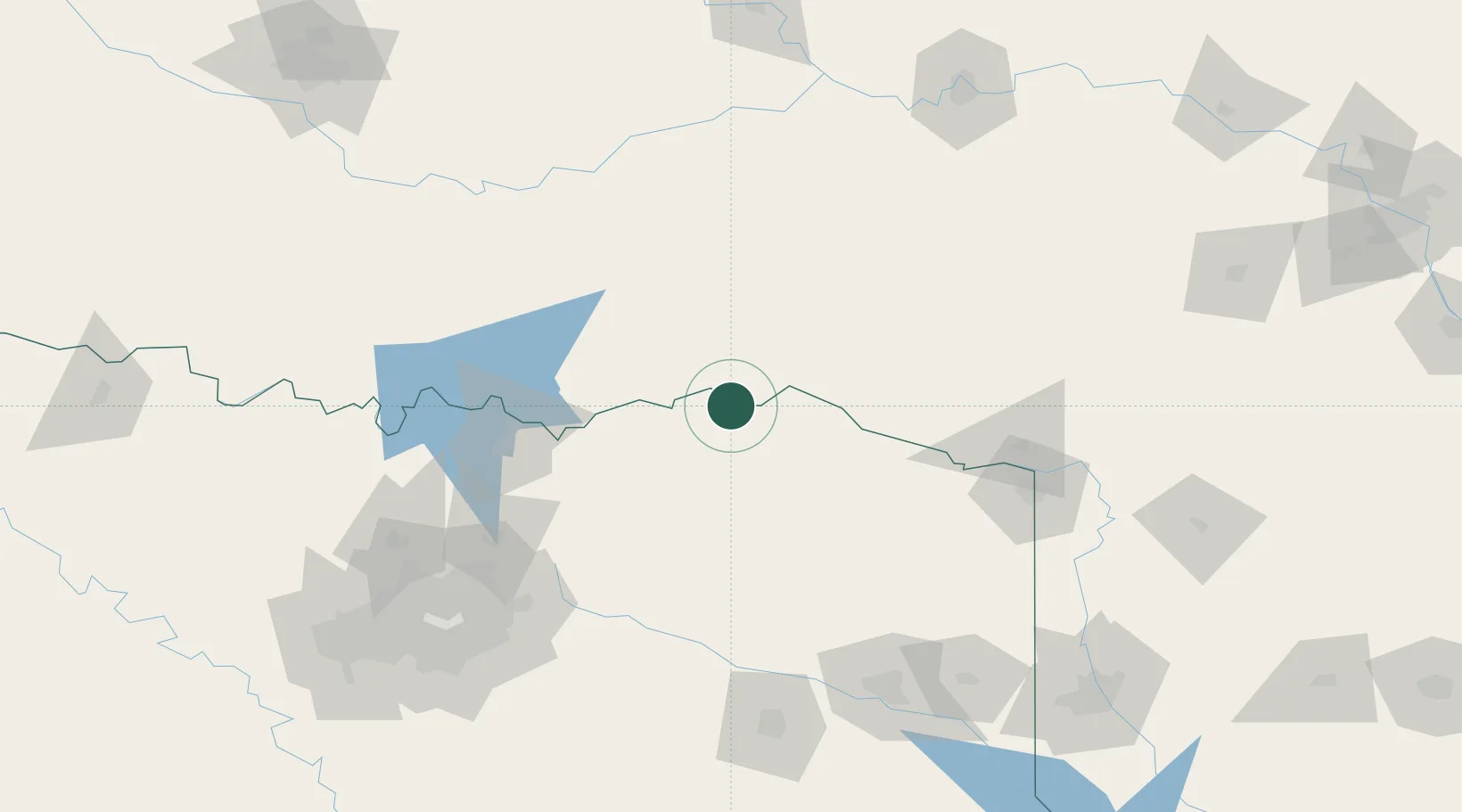
Location
Nearby Logistics Neighbours
Ports
- 1Beaumont441 km
- 2Orange453 km
- 3Port Neches454 km
- 4Lake Charles458 km
- 5Deer Park458 km
Airports
Trade Zones
- 1FTZ No. 227 Durant84 km
- 2FTZ No. 258 Bowie County88 km
- 3FTZ No. 234 Gregg County160 km
- 4FTZ No. 269 Athens189 km
- 5FTZ No. 164 Muskogee207 km
DatabookThe Record of Consolidated Knowledge
United States beyond logistics?