UN/LOCODE hub · United States
US7CA
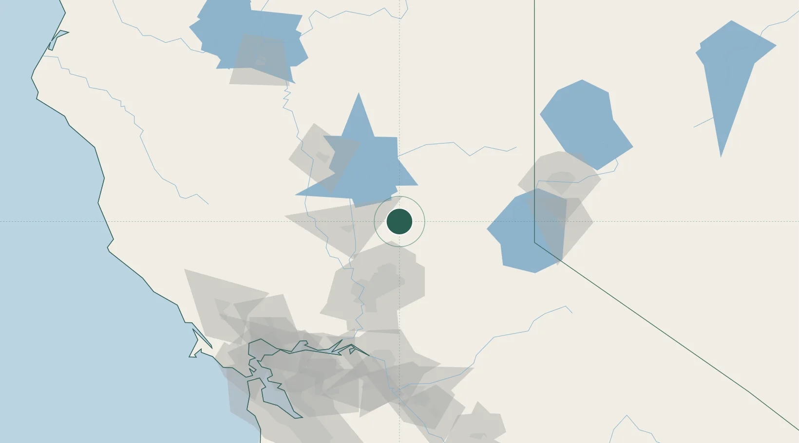
Penn Valley
39.1833°, -121.1833°
1,621
Population
2
Transport functions
Transport Functions
Port
Road
Hub Profile
Place type
Populated place
Region
California
Population
1,621
Time zone
America/Los_Angeles
Elevation
427 m
Location
Nearby Logistics Neighbours
Cities
- 1Colfax22 km
- 2Olivehurst34 km
- 3Sunset41 km
- 4Live Oak43 km
- 5Georgetown44 km
Ports
- 1Sacramento72 km
- 2Courtland100 km
- 3Walnut Grove110 km
- 4Isleton119 km
- 5Rio Vista123 km
Airports
- 1Beale Air Force Base23 km
- 2Yuba County Airport35 km
- 3McClellan Airfield60 km
- 4Sacramento International Airport65 km
- 5Sacramento Mather Airport71 km
Trade Zones
- 1FTZ No. 143 West Sacramento73 km
- 2FTZ No. 126 Sparks128 km
- 3FTZ No. 231 Stockton138 km
- 4FTZ No. 056 Oakland180 km
- 5FTZ No. 003 San Francisco187 km
DatabookThe Record of Consolidated Knowledge
United States beyond logistics?