UN/LOCODE hub · United States
USUGD
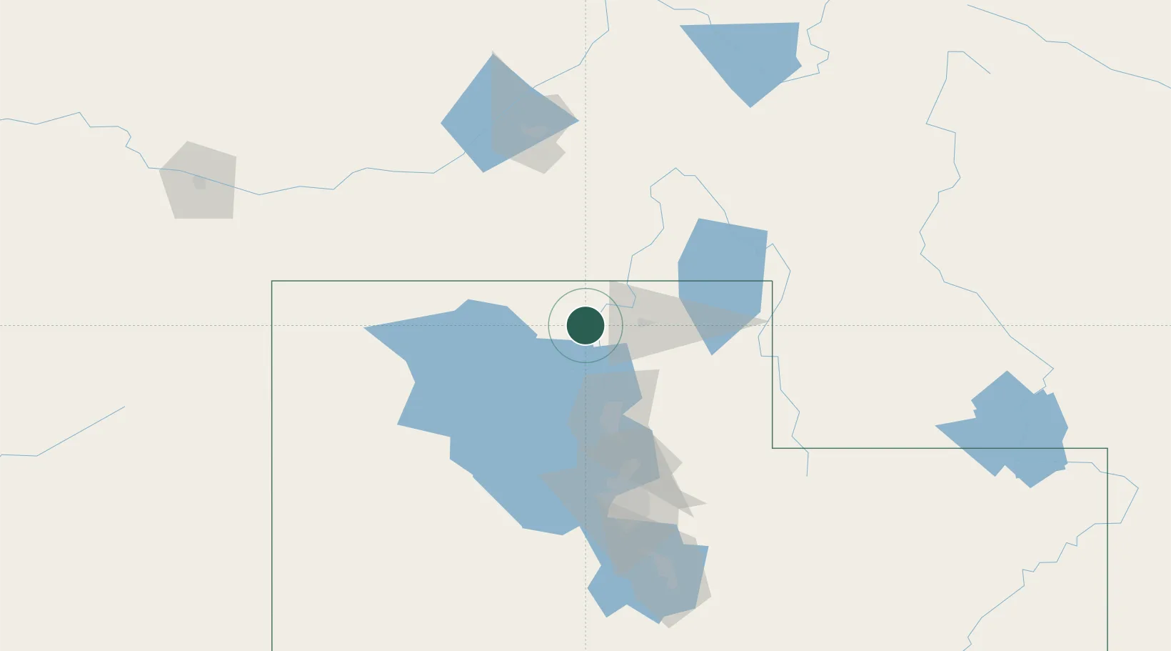
Garland
41.7333°, -112.1667°
2,448
Population
2
Transport functions
Transport Functions
Road
Multimodal
Hub Profile
Place type
Populated place
Region
Utah
Population
2,448
Time zone
America/Denver
Elevation
1,323 m
Location
Nearby Logistics Neighbours
Cities
- 1Collinston8 km
- 2Plymouth15 km
- 3Corinne19 km
- 4Hyrum29 km
- 5North Logan29 km
Ports
- 1The Dalles842 km
- 2Sacramento866 km
- 3Courtland884 km
- 4Stockton885 km
- 5Walnut Grove886 km
Airports
Trade Zones
- 1FTZ No. 030 Salt Lake City107 km
- 2FTZ No. 280 Ada and Canyon Counties446 km
- 3FTZ No. 274 Butte-Silver Bow468 km
- 4FTZ No. 275 Lansing477 km
- 5FTZ No. 088 Great Falls644 km
DatabookThe Record of Consolidated Knowledge
United States beyond logistics?