Large airport · United States

Salt Lake City International AirportKSLC

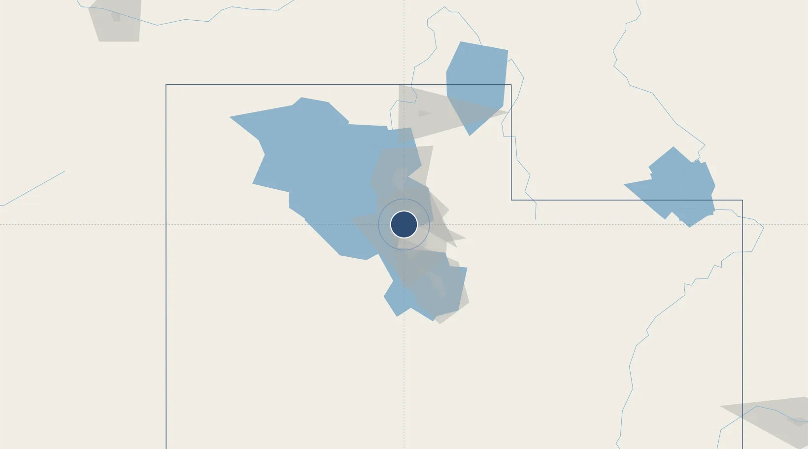
40.7889°, -111.9799°
12,002 ft
Longest runway
4
Runways
4,227 ft
Elevation

Runway & Layout

Salt Lake City International Airport runway & taxiway layout
Runway & taxiway layout — OpenStreetMap (ODbL) / OurAirports

Radio Frequencies

ATIS
124.75 MHz
TWR
118.3 MHz
GND
121.9 MHz
CLD
127.3 MHz
CLNC DEL
A/D
121.1 MHz
APP/DEP
OPS
30.3 MHz
ANG OPS
RDO
122.4 MHz
CEDAR CITY RDO
UNIC
122.95 MHz
UNICOM
OurAirports

Navaids

TCH VORTAC Wasatch 116.80 MHz
OurAirports

Runways · 4

RunwayDimensions SurfaceTrue headingLit
16L/34R 12,002 × 150ft Asphalt 175°
16R/34L 12,000 × 150ft Concrete 175°
17/35 9,596 × 150ft Asphalt 180°
14/32 4,893 × 150ft Asphalt 153°
OurAirports

Airport Specifications

IATA code
SLC
OurAirports
ICAO code
KSLC
OurAirports
Airport class
Large airport
OurAirports
Scheduled service
Yes
OurAirports
Runway surface
Asphalt
OurAirports
Served city
Salt Lake City
OurAirports

Location

Location of KSLC
Natural Earth 10m (public domain) · Utah · KSLC · 40.79, -111.98GoogleOSMYandex

Nearby Logistics Neighbours

Airports
  1. 1South Valley Regional Airport19 km
  2. 2Hill Air Force Base37 km
  3. 3Ogden Hinckley Airport45 km
  4. 4Provo Municipal Airport67 km
  5. 5Evanston-Uinta County Airport-Burns Field96 km
Nearest neighbours — logibook spatial index (haversine) over the source coordinates
Cities
  1. 1West Valley City10 km
  2. 2South Salt Lake11 km
  3. 3Woods Cross12 km
  4. 4Centerville17 km
  5. 5West Jordan19 km
Nearest neighbours — logibook spatial index (haversine) over the source coordinates
Ports
  1. 1Sacramento850 km
  2. 2Stockton861 km
  3. 3Courtland865 km
  4. 4Walnut Grove866 km
  5. 5Isleton875 km
Nearest neighbours — logibook spatial index (haversine) over the source coordinates
Trade Zones
  1. 1FTZ No. 030 Salt Lake City2 km
  2. 2FTZ No. 280 Ada and Canyon Counties516 km
  3. 3FTZ No. 274 Butte-Silver Bow574 km
  4. 4FTZ No. 275 Lansing583 km
  5. 5FTZ No. 298 Jefferson County591 km
Nearest neighbours — logibook spatial index (haversine) over the source coordinates
DatabookThe Record of Consolidated Knowledge
United States beyond logistics?
Browse databook

All Sources

AirportsOurAirports
Public domain
Portsthe NGA World Port Index
Public domain (US gov)
LocationsUN/LOCODE
UN/LOCODE — free
Trade Zonesthe World Bank SEZ database
CC BY 4.0
Trade ZonesOpen Zone Map
CC BY
InfrastructureOpenStreetMap
ODbL 1.0
← United States airports