Transport Functions
Rail
Road
Hub Profile
Place type
Populated place
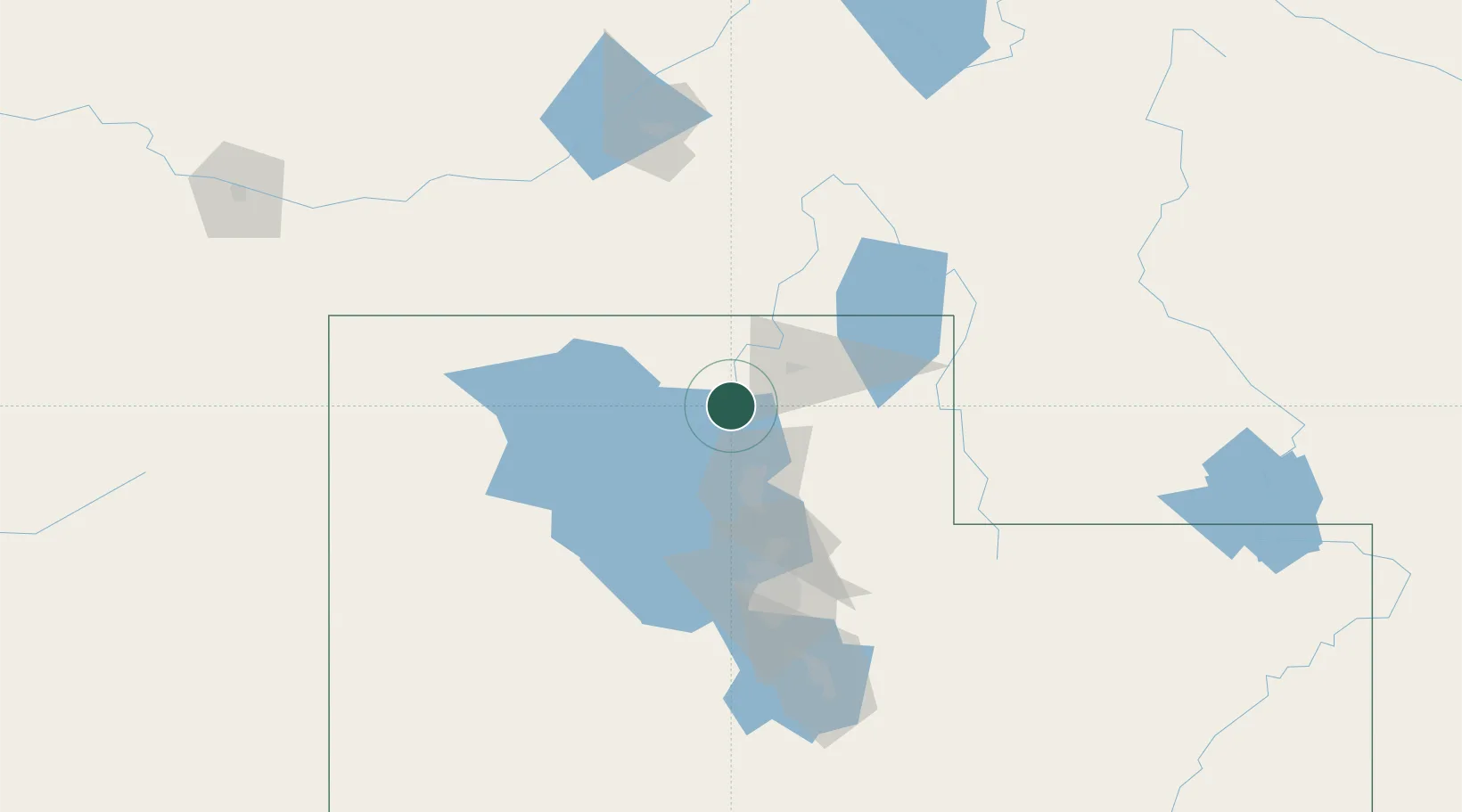
Region
Utah
Population
694
Time zone
America/Denver
Elevation
1,288 m
Location
Nearby Logistics Neighbours
Cities
- 1Garland19 km
- 2Collinston22 km
- 3Hyrum23 km
- 4Pleasant View, Weber30 km
- 5Plymouth33 km
Ports
- 1The Dalles856 km
- 2Sacramento864 km
- 3Stockton881 km
- 4Courtland882 km
- 5Walnut Grove883 km
Airports
Trade Zones
- 1FTZ No. 030 Salt Lake City89 km
- 2FTZ No. 280 Ada and Canyon Counties459 km
- 3FTZ No. 274 Butte-Silver Bow487 km
- 4FTZ No. 275 Lansing495 km
- 5FTZ No. 088 Great Falls662 km
DatabookThe Record of Consolidated Knowledge
United States beyond logistics?