Transport Functions
Rail
Road
Multimodal
Hub Profile
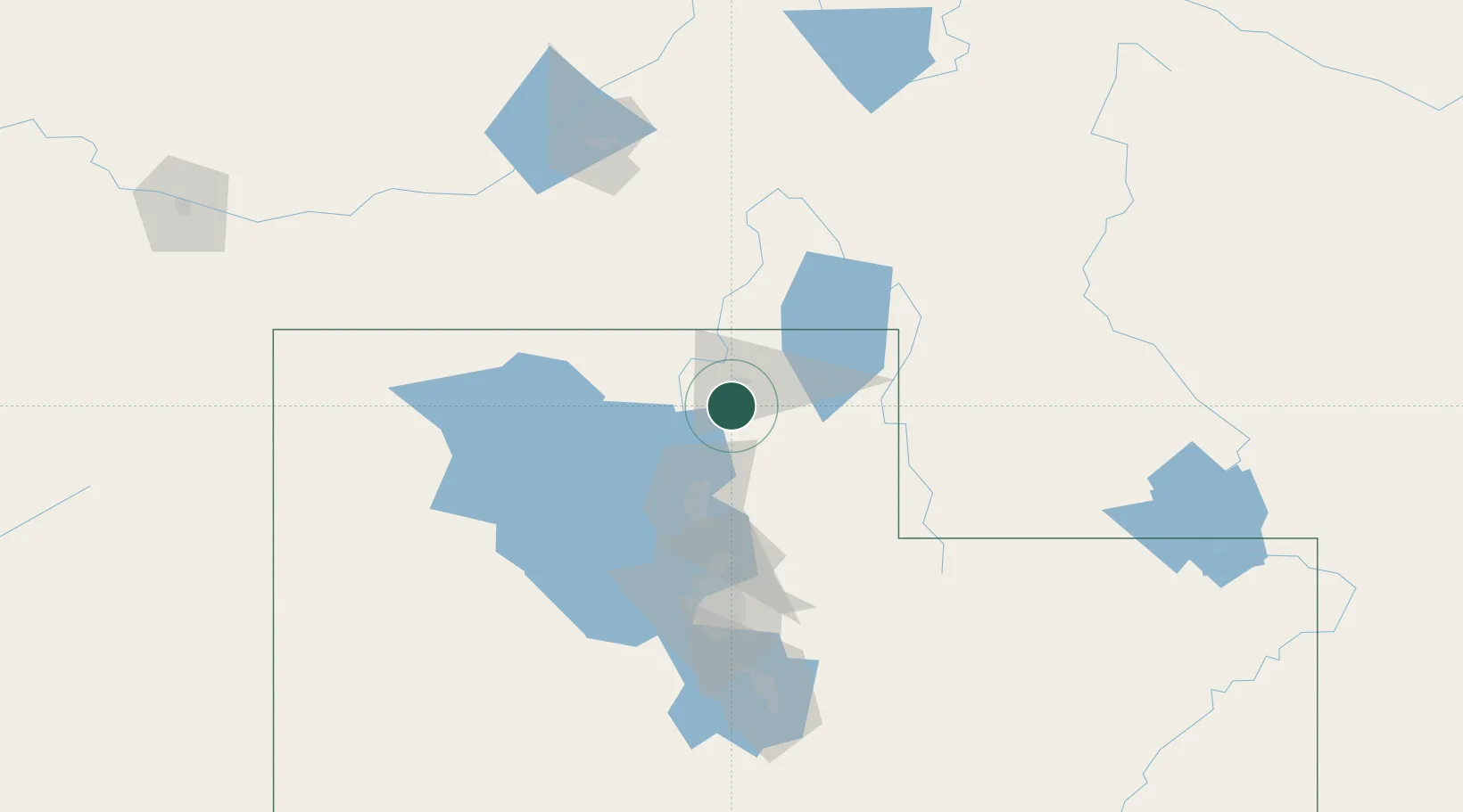
Place type
Populated place
Region
Utah
Population
7,962
Time zone
America/Denver
Elevation
1,432 m
Location
Nearby Logistics Neighbours
Cities
- 1North Logan15 km
- 2Smithfield22 km
- 3Corinne23 km
- 4Collinston24 km
- 5Garland29 km
Ports
- 1The Dalles870 km
- 2Sacramento887 km
- 3Stockton905 km
- 4Courtland905 km
- 5Walnut Grove906 km
Airports
Trade Zones
- 1FTZ No. 030 Salt Lake City96 km
- 2FTZ No. 280 Ada and Canyon Counties474 km
- 3FTZ No. 274 Butte-Silver Bow483 km
- 4FTZ No. 275 Lansing490 km
- 5FTZ No. 298 Jefferson County602 km
DatabookThe Record of Consolidated Knowledge
United States beyond logistics?