Transport Functions
Road
Multimodal
Hub Profile
Place type
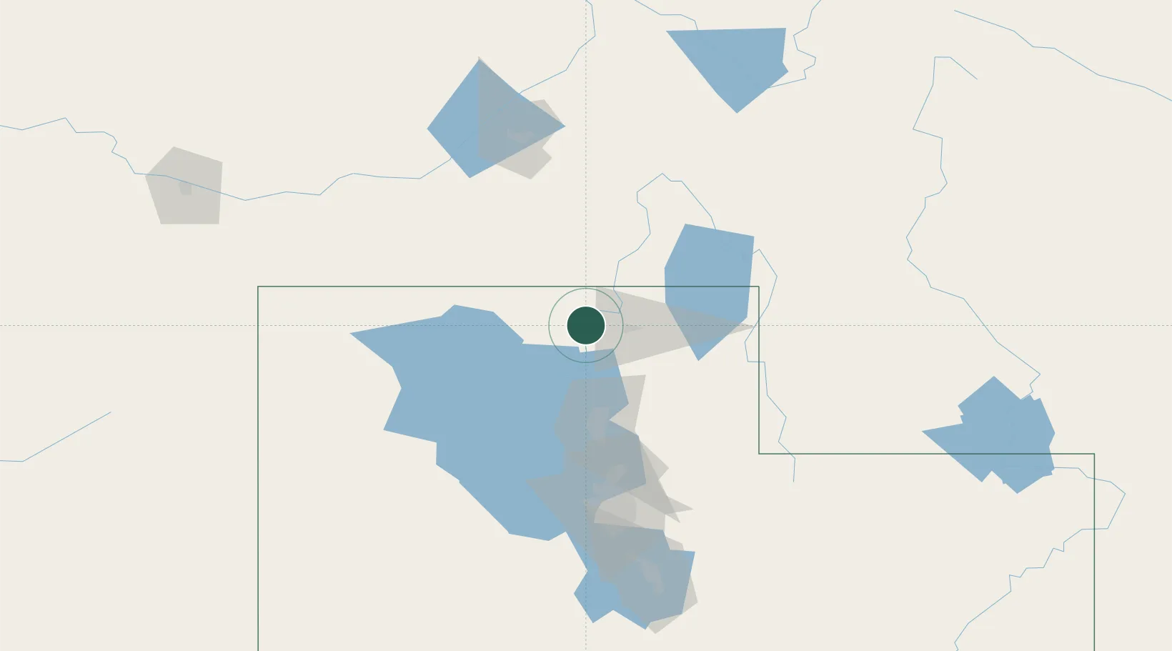
Populated place
Region
Utah
Time zone
America/Denver
Elevation
1,351 m
Location
Nearby Logistics Neighbours
Cities
- 1Garland8 km
- 2Plymouth12 km
- 3Smithfield22 km
- 4North Logan22 km
- 5Corinne22 km
Ports
- 1The Dalles846 km
- 2Sacramento874 km
- 3Courtland892 km
- 4Stockton893 km
- 5Walnut Grove894 km
Airports
Trade Zones
- 1FTZ No. 030 Salt Lake City110 km
- 2FTZ No. 280 Ada and Canyon Counties450 km
- 3FTZ No. 274 Butte-Silver Bow465 km
- 4FTZ No. 275 Lansing473 km
- 5FTZ No. 088 Great Falls640 km
DatabookThe Record of Consolidated Knowledge
United States beyond logistics?