Transport Functions
Road
Multimodal
Hub Profile
Place type
Populated place
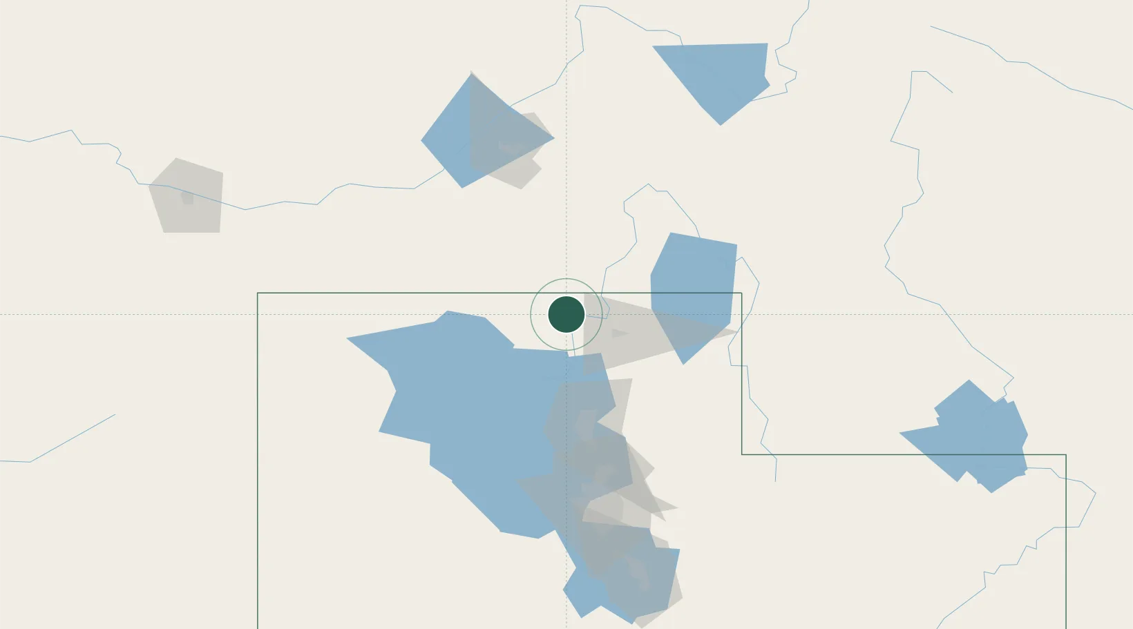
Region
Utah
Population
413
Time zone
America/Denver
Elevation
1,368 m
Location
Nearby Logistics Neighbours
Cities
- 1Collinston12 km
- 2Garland15 km
- 3Smithfield25 km
- 4North Logan29 km
- 5Richmond29 km
Ports
- 1The Dalles837 km
- 2Sacramento874 km
- 3Courtland893 km
- 4Stockton894 km
- 5Walnut Grove894 km
Airports
Trade Zones
- 1FTZ No. 030 Salt Lake City122 km
- 2FTZ No. 280 Ada and Canyon Counties442 km
- 3FTZ No. 274 Butte-Silver Bow453 km
- 4FTZ No. 275 Lansing462 km
- 5FTZ No. 088 Great Falls629 km
DatabookThe Record of Consolidated Knowledge
United States beyond logistics?