Medium airport · United States
Ogden Hinckley AirportKOGD
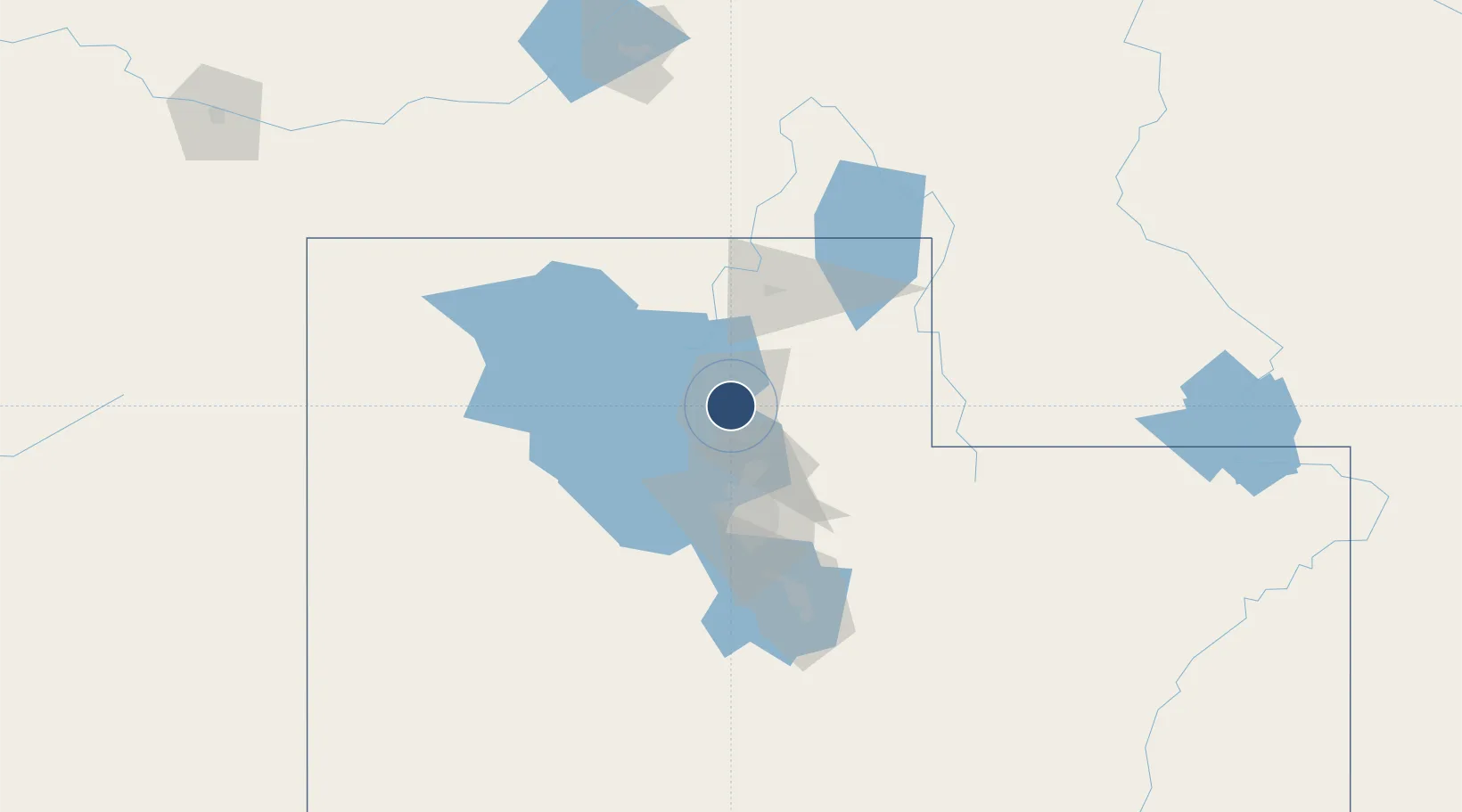
41.1959°, -112.0120°
8,107 ft
Longest runway
2
Runways
4,473 ft
Elevation
Runway & Layout

Radio Frequencies
ATIS
125.55 MHz
ASOS
125.55 MHz
TWR
118.7 MHz
GND
121.7 MHz
CTAF
118.7 MHz
A/D
121.1 MHz
APP/DEP
RDO
122.45 MHz
CEDAR CITY RDO
UNIC
122.95 MHz
UNICOM
Runways · 2
| Runway | Dimensions | Surface | True heading | Lit |
|---|---|---|---|---|
| 03/21 | 8,107 × 150ft | Asphalt | 045° | ✓ |
| 17/35 | 5,195 × 100ft | Asphalt | 179° | ✓ |
Airport Specifications
IATA code
OGD
ICAO code
KOGD
Airport class
Medium airport
Scheduled service
Yes
Runway surface
Asphalt
Served city
Ogden
Location
Nearby Logistics Neighbours
Airports
Cities
- 1South Ogden4 km
- 2Washington Terrace5 km
- 3Sunset5 km
- 4Hill Air Force Base9 km
- 5Hooper10 km
Ports
- 1Sacramento860 km
- 2Stockton874 km
- 3Courtland876 km
- 4Walnut Grove877 km
- 5Isleton886 km
Trade Zones
- 1FTZ No. 030 Salt Lake City47 km
- 2FTZ No. 280 Ada and Canyon Counties487 km
- 3FTZ No. 274 Butte-Silver Bow529 km
- 4FTZ No. 275 Lansing537 km
- 5FTZ No. 126 Sparks682 km
DatabookThe Record of Consolidated Knowledge
United States beyond logistics?