UN/LOCODE hub · United States
USNOJ
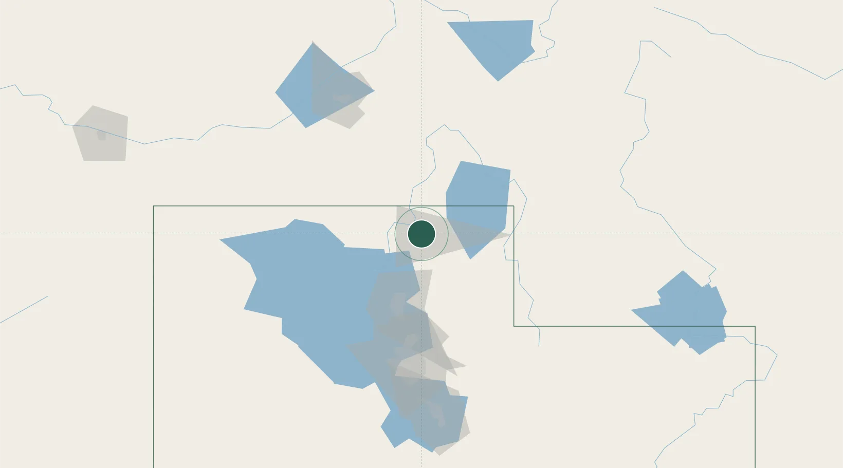
North Logan
41.7667°, -111.8167°
10,181
Population
2
Transport functions
Transport Functions
Rail
Road
Hub Profile
Place type
Populated place
Region
Utah
Population
10,181
Time zone
America/Denver
Elevation
1,430 m
Location
Nearby Logistics Neighbours
Cities
- 1Smithfield8 km
- 2Hyrum15 km
- 3Richmond19 km
- 4Collinston22 km
- 5Plymouth29 km
Ports
- 1The Dalles865 km
- 2Sacramento895 km
- 3Courtland913 km
- 4Stockton913 km
- 5Walnut Grove914 km
Airports
Trade Zones
- 1FTZ No. 030 Salt Lake City111 km
- 2FTZ No. 274 Butte-Silver Bow469 km
- 3FTZ No. 280 Ada and Canyon Counties470 km
- 4FTZ No. 275 Lansing476 km
- 5FTZ No. 298 Jefferson County604 km
DatabookThe Record of Consolidated Knowledge
United States beyond logistics?