Transport Functions
Port
Road
Hub Profile
Place type
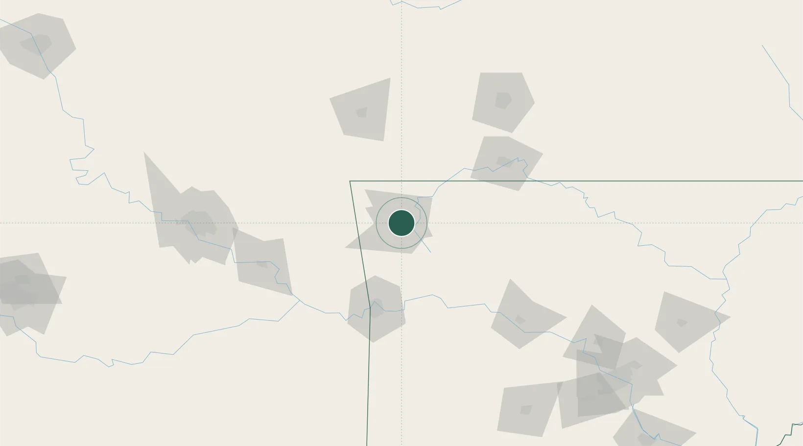
Populated place
Region
Arkansas
Population
3,634
Time zone
America/Chicago
Elevation
365 m
Location
Nearby Logistics Neighbours
Cities
- 1Lowell14 km
- 2Prairie Grove23 km
- 3West Fork24 km
- 4Lincoln32 km
- 5Gentry32 km
Ports
- 1Port Of Memphis381 km
- 2Lake Charles663 km
- 3Beaumont673 km
- 4Orange674 km
- 5Port Neches682 km
Airports
- 1Drake Field14 km
- 2Northwest Arkansas National Airport21 km
- 3Fort Smith Regional Airport90 km
- 4Boone County Airport92 km
- 5Branson Airport97 km
Trade Zones
- 1FTZ No. 164 Muskogee123 km
- 2FTZ No. 225 Springfield149 km
- 3FTZ No. 053 Rogers County153 km
- 4FTZ No. 014 Little Rock239 km
- 5FTZ No. 258 Bowie County299 km
DatabookThe Record of Consolidated Knowledge
United States beyond logistics?