UN/LOCODE hub · United States
USWQQ
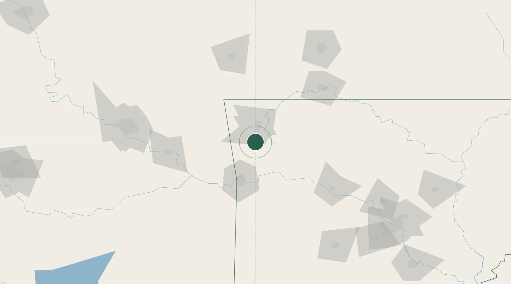
West Fork
35.9167°, -94.1833°
2,543
Population
2
Transport functions
Transport Functions
Rail
Road
Hub Profile
Place type
Populated place
Region
Arkansas
Population
2,543
Time zone
America/Chicago
Elevation
409 m
Location
Nearby Logistics Neighbours
Cities
- 1Prairie Grove13 km
- 2Lincoln21 km
- 3Johnson24 km
- 4Westville35 km
- 5Lowell38 km
Ports
- 1Port Of Memphis376 km
- 2Lake Charles640 km
- 3Beaumont649 km
- 4Orange650 km
- 5Port Neches658 km
Airports
- 1Drake Field10 km
- 2Northwest Arkansas National Airport42 km
- 3Fort Smith Regional Airport67 km
- 4Boone County Airport100 km
- 5Branson Airport112 km
Trade Zones
- 1FTZ No. 164 Muskogee115 km
- 2FTZ No. 053 Rogers County157 km
- 3FTZ No. 225 Springfield170 km
- 4FTZ No. 014 Little Rock225 km
- 5FTZ No. 258 Bowie County275 km
DatabookThe Record of Consolidated Knowledge
United States beyond logistics?