UN/LOCODE hub · United States
USRLH
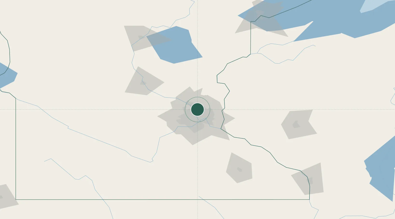
Spring Lake Park
45.1000°, -93.2333°
6,473
Population
2
Transport functions
Transport Functions
Road
Multimodal
Hub Profile
Place type
Populated place
Region
Minnesota
Population
6,473
Time zone
America/Chicago
Elevation
275 m
Location
Nearby Logistics Neighbours
Cities
- 1Columbia Heights8 km
- 2Circle Pines9 km
- 3Medina9 km
- 4Lino Lakes10 km
- 5Minneapolis12 km
Ports
- 1Superior203 km
- 2Duluth205 km
- 3Two Harbors246 km
- 4Ashland248 km
- 5Washburn252 km
Airports
Trade Zones
- 1FTZ No. 119 Minneapolis-St. Paul15 km
- 2FTZ No. 051 Duluth200 km
- 3FTZ No. 288 Northwest Iowa313 km
- 4FTZ No. 220 Sioux Falls331 km
- 5FTZ No. 267 Fargo348 km
DatabookThe Record of Consolidated Knowledge
United States beyond logistics?