UN/LOCODE hub · United States
USZLP
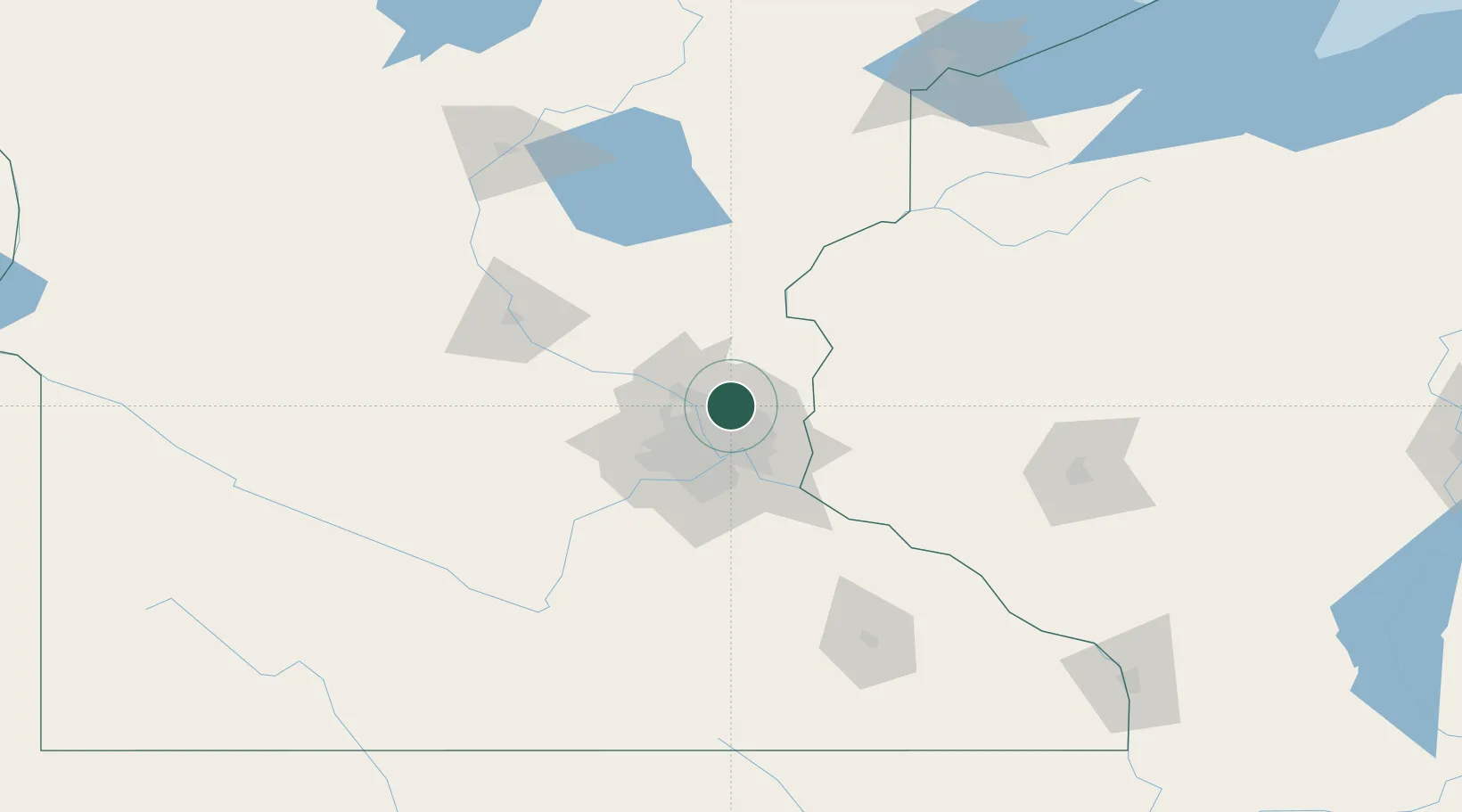
Circle Pines
45.1500°, -93.1500°
4,958
Population
2
Transport functions
Transport Functions
Port
Road
Hub Profile
Place type
Populated place
Region
Minnesota
Population
4,958
Time zone
America/Chicago
Elevation
277 m
Location
Nearby Logistics Neighbours
Cities
- 1Lino Lakes1 km
- 2Centerville8 km
- 3Spring Lake Park9 km
- 4Hugo13 km
- 5Medina17 km
Ports
- 1Superior195 km
- 2Duluth197 km
- 3Two Harbors238 km
- 4Ashland239 km
- 5Washburn243 km
Airports
Trade Zones
- 1FTZ No. 119 Minneapolis-St. Paul21 km
- 2FTZ No. 051 Duluth193 km
- 3FTZ No. 288 Northwest Iowa321 km
- 4FTZ No. 220 Sioux Falls340 km
- 5FTZ No. 267 Fargo351 km
DatabookThe Record of Consolidated Knowledge
United States beyond logistics?