UN/LOCODE hub · United States
USHLY
Haleyville
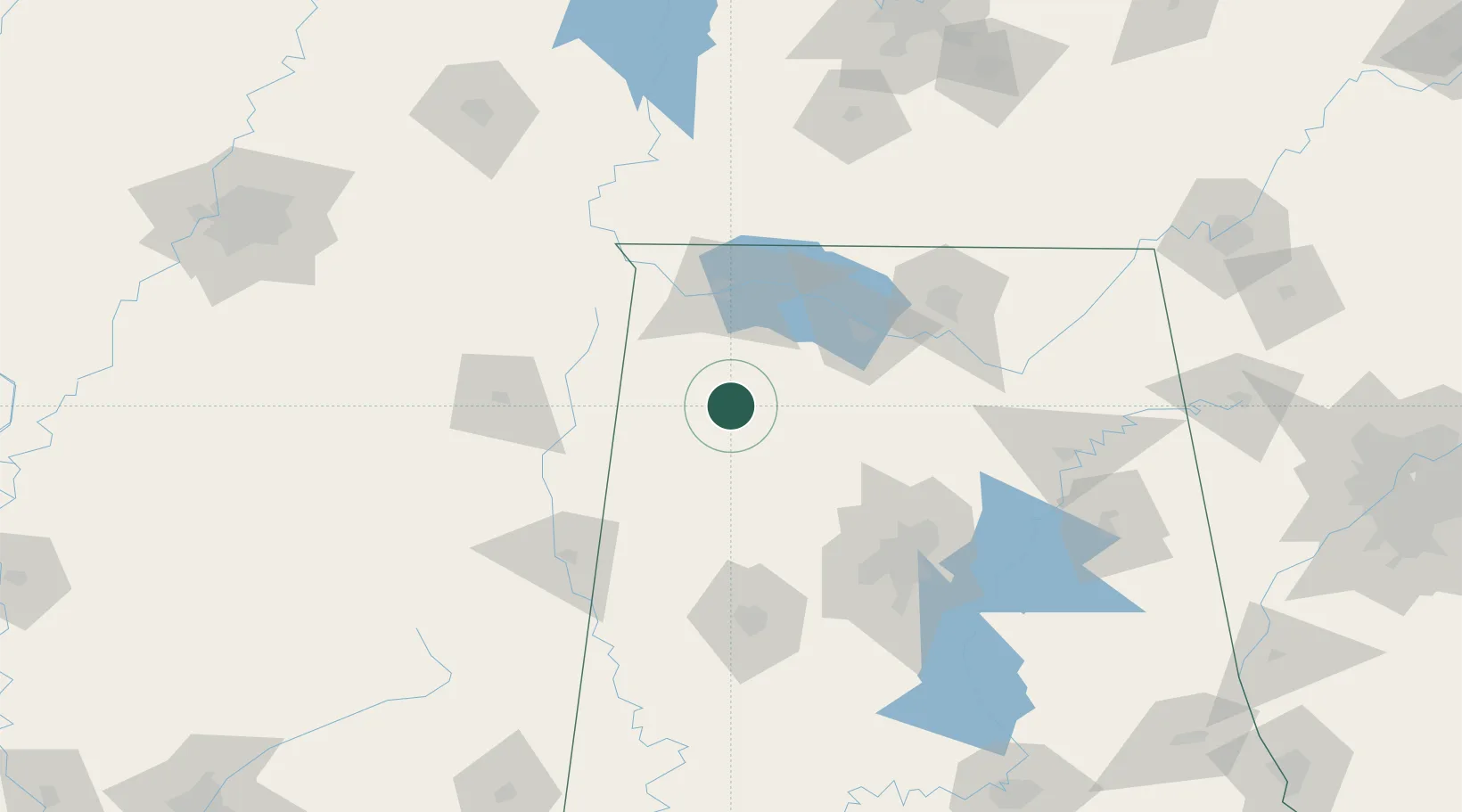
34.2333°, -87.6333°
4,088
Population
2
Transport functions
Transport Functions
Rail
Road
Hub Profile
Place type
Populated place
Region
Alabama
Population
4,088
Time zone
America/Chicago
Elevation
287 m
Location
Nearby Logistics Neighbours
Cities
- 1Phil Campbell14 km
- 2Hackleburg19 km
- 3Double Springs23 km
- 4Stewart48 km
- 5Oakland54 km
Ports
- 1Port Of Memphis250 km
- 2Mobile397 km
- 3Pensacola428 km
- 4Pascagoula441 km
- 5Biloxi444 km
Airports
Trade Zones
DatabookThe Record of Consolidated Knowledge
United States beyond logistics?