Transport Functions
Multimodal
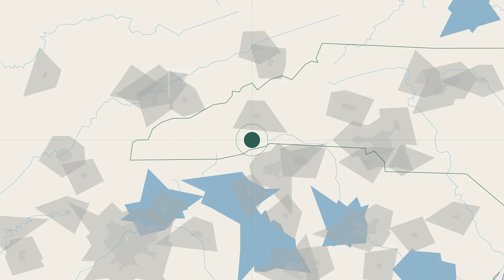
Hub Profile
Place type
Populated place
Region
North Carolina
Time zone
America/New_York
Elevation
642 m
Location
Nearby Logistics Neighbours
Cities
- 1Etowah7 km
- 2Naples18 km
- 3Zirconia22 km
- 4Edneyville28 km
- 5Candler30 km
Ports
- 1Beaufort364 km
- 2Port Royal369 km
- 3Charleston373 km
- 4Georgetown373 km
- 5Savannah382 km
Airports
Trade Zones
- 1FTZ No. 038 Spartanburg County55 km
- 2FTZ No. 204 Tri-Cities137 km
- 3FTZ No. 057 Mecklenburg County141 km
- 4FTZ No. 148 Knoxville165 km
- 5FTZ No. 127 West Columbia198 km
DatabookThe Record of Consolidated Knowledge
United States beyond logistics?