UN/LOCODE hub · United States
USMWR
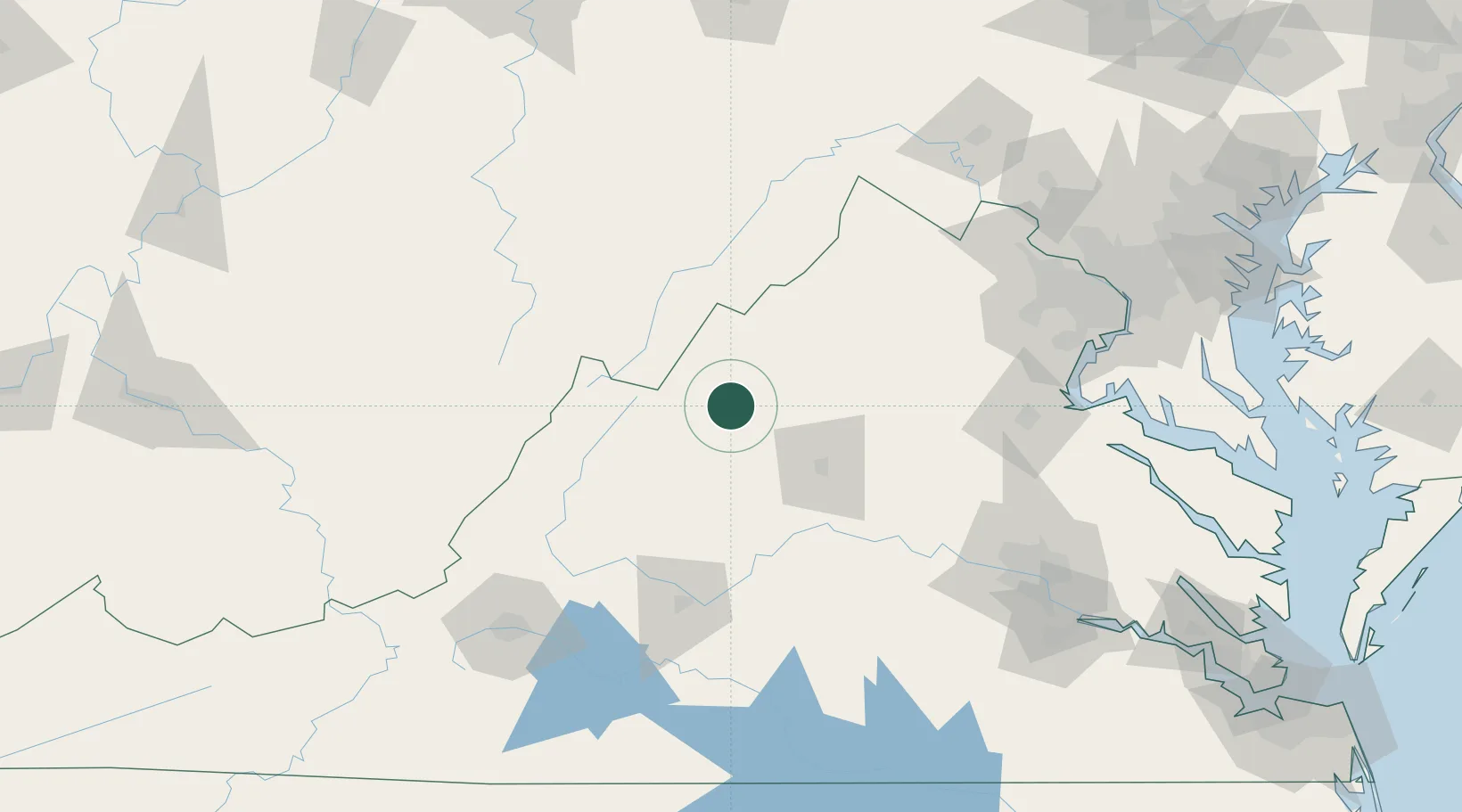
Mount Crawford
38.3500°, -78.9333°
445
Population
2
Transport functions
Transport Functions
Road
Multimodal
Hub Profile
Place type
Populated place
Region
Virginia
Population
445
Time zone
America/New_York
Elevation
367 m
Location
Nearby Logistics Neighbours
Cities
- 1Bridgewater3 km
- 2Port Republic12 km
- 3Mcgaheysville19 km
- 4Crimora23 km
- 5Swoope32 km
Ports
- 1Fredericksburg130 km
- 2Richmond161 km
- 3Alexandria173 km
- 4Washington D.C.175 km
- 5West Point208 km
Airports
Trade Zones
DatabookThe Record of Consolidated Knowledge
United States beyond logistics?