UN/LOCODE hub · United States
USSJ2
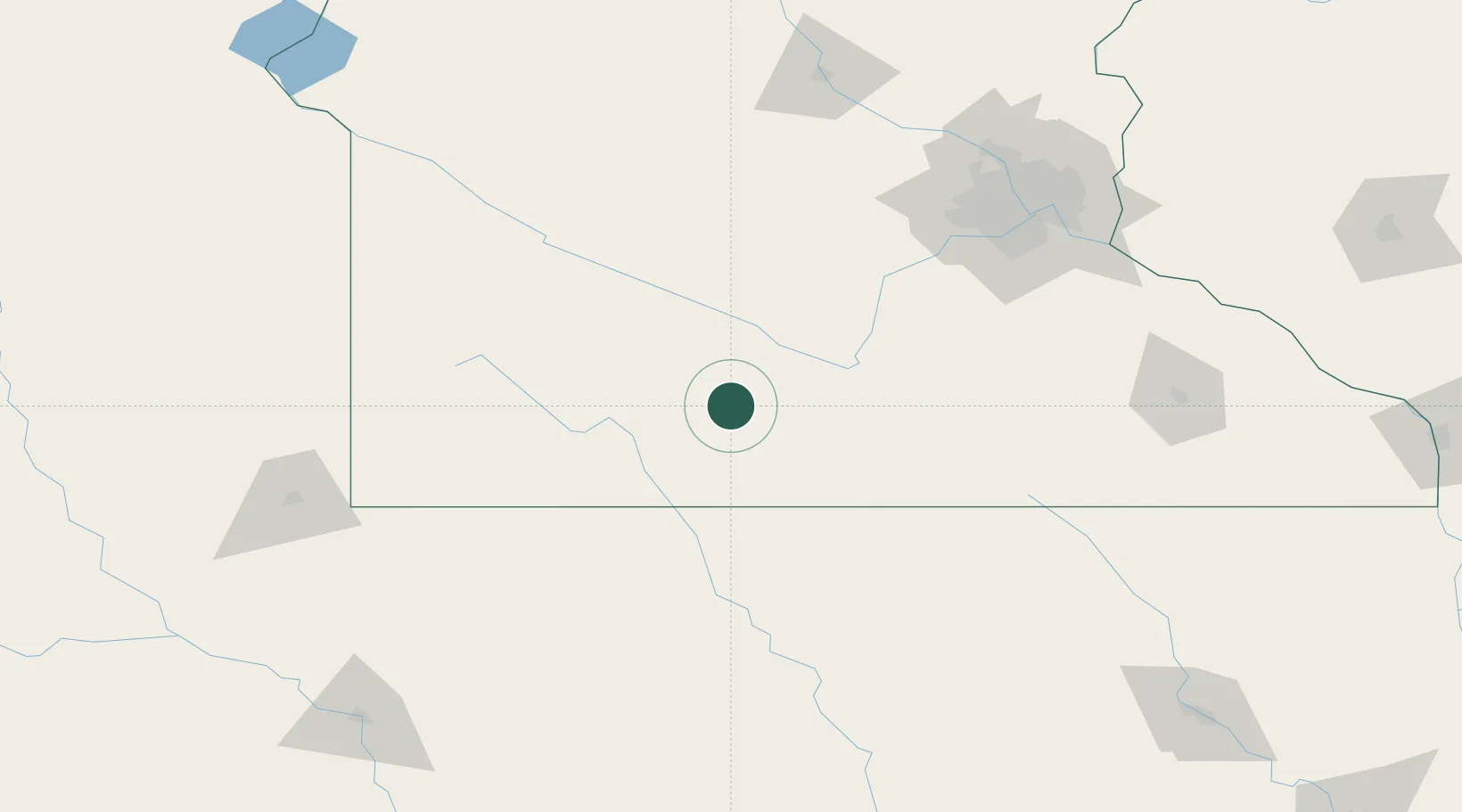
Saint James
43.9833°, -94.6333°
4,605
Population
2
Transport functions
Transport Functions
Rail
Road
Hub Profile
Place type
Provincial seat
Region
Minnesota
Population
4,605
Time zone
America/Chicago
Elevation
329 m
Location
Nearby Logistics Neighbours
Cities
- 1Truman25 km
- 2Mountain Lake25 km
- 3Sleepy Eye36 km
- 4Garden City38 km
- 5Springfield39 km
Ports
- 1Superior366 km
- 2Duluth367 km
- 3Two Harbors410 km
- 4Ashland414 km
- 5Washburn418 km
Airports
Trade Zones
- 1FTZ No. 288 Northwest Iowa148 km
- 2FTZ No. 119 Minneapolis-St. Paul156 km
- 3FTZ No. 220 Sioux Falls180 km
- 4FTZ No. 107 Polk County268 km
- 5FTZ No. 175 Cedar Rapids322 km
DatabookThe Record of Consolidated Knowledge
United States beyond logistics?