Transport Functions
Road
Multimodal
Hub Profile
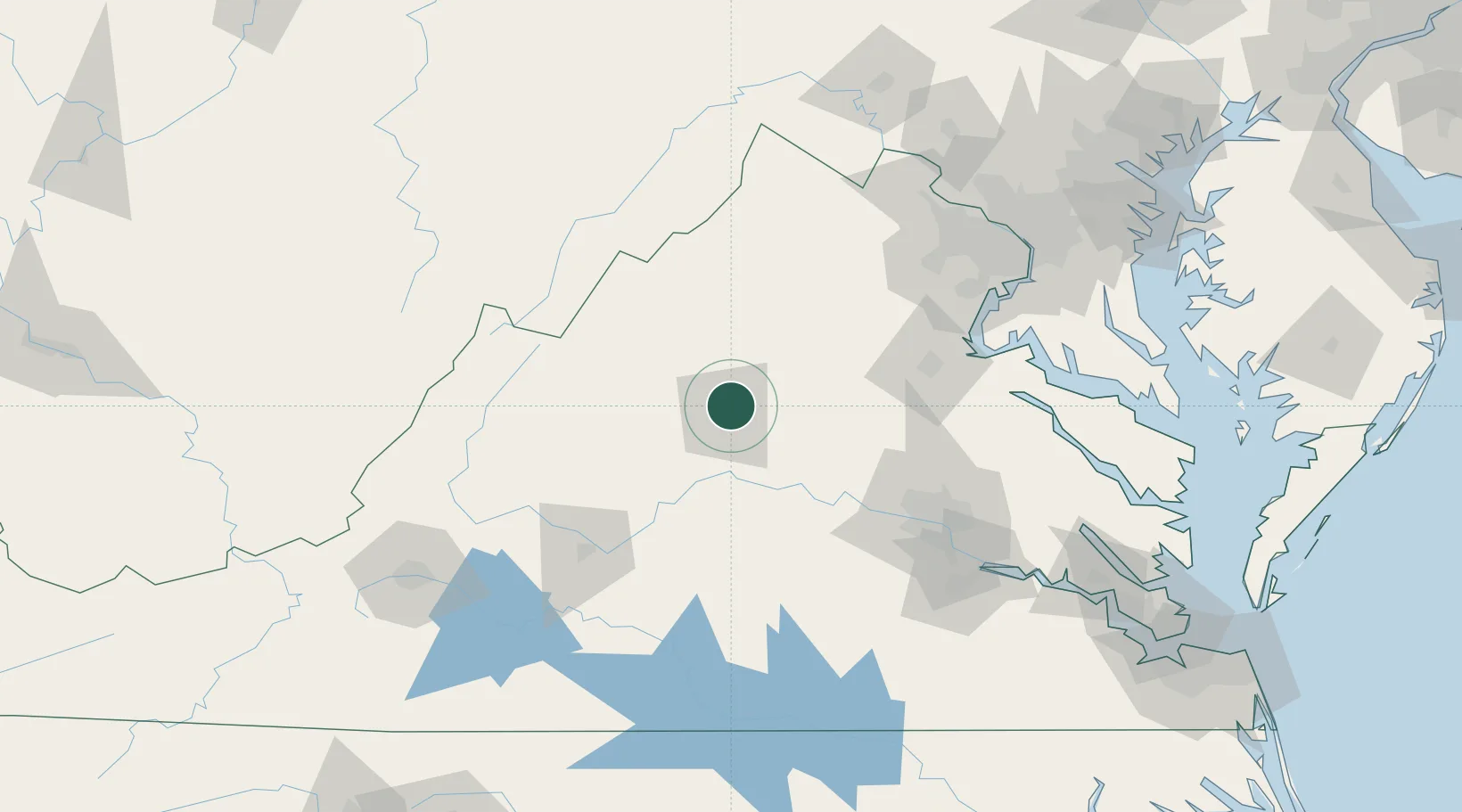
Place type
Populated place
Region
Virginia
Time zone
America/New_York
Elevation
169 m
Location
Nearby Logistics Neighbours
Cities
- 1Ruckersville16 km
- 2Barboursville19 km
- 3Troy25 km
- 4Rochelle27 km
- 5Aroda33 km
Ports
- 1Fredericksburg92 km
- 2Richmond112 km
- 3Alexandria147 km
- 4Washington D.C.151 km
- 5West Point159 km
Airports
Trade Zones
DatabookThe Record of Consolidated Knowledge
United States beyond logistics?