Transport Functions
Rail
Road
Multimodal
Hub Profile
Place type
Populated place
Region
Virginia
Time zone
America/New_York
Elevation
147 m
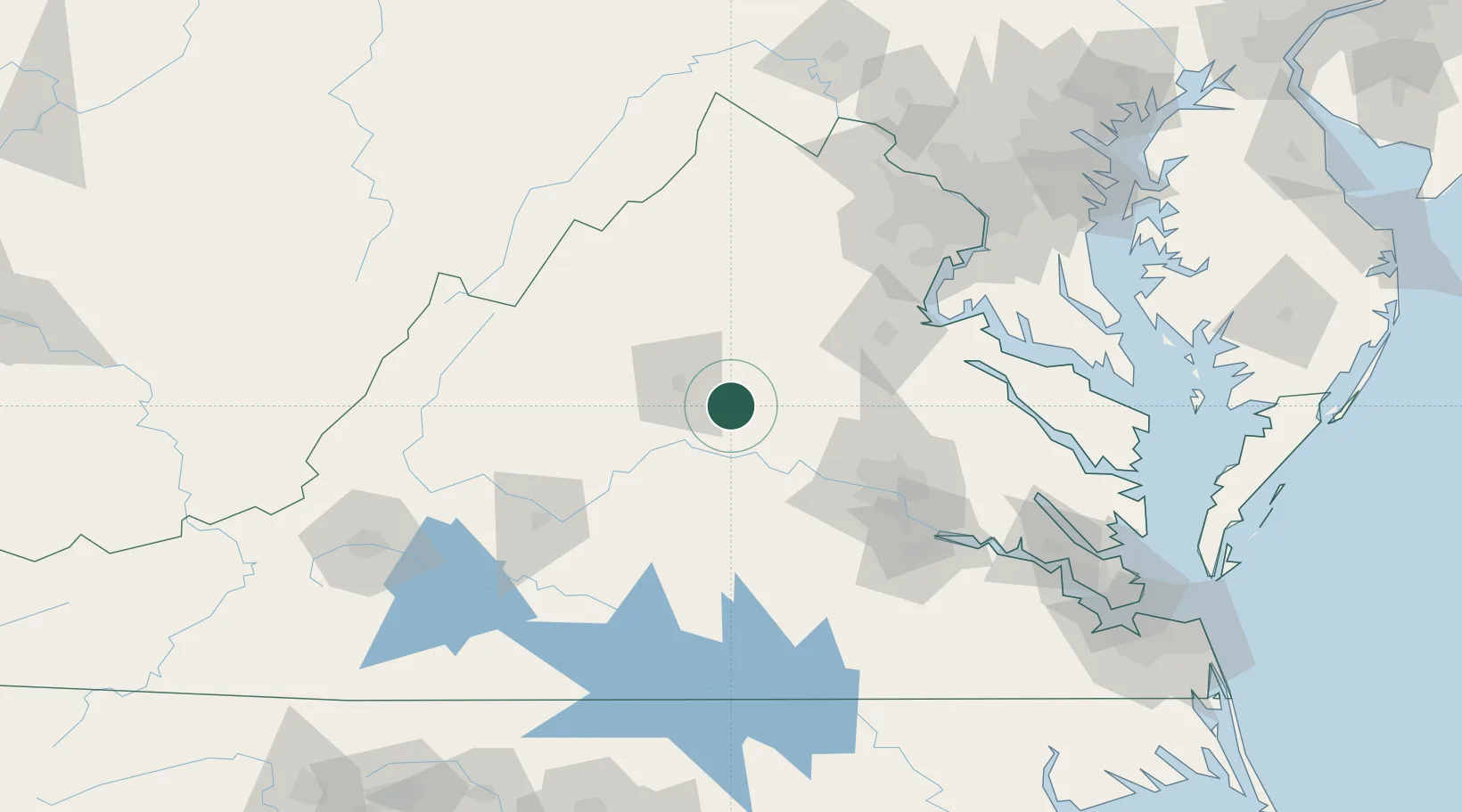
Location
Nearby Logistics Neighbours
Cities
- 1Wilmington12 km
- 2Trevilians20 km
- 3Fork Union22 km
- 4Barboursville24 km
- 5Windsor25 km
Ports
- 1Fredericksburg80 km
- 2Richmond87 km
- 3West Point136 km
- 4Alexandria142 km
- 5Washington D.C.147 km
Airports
Trade Zones
DatabookThe Record of Consolidated Knowledge
United States beyond logistics?