Transport Functions
Road
Multimodal
Hub Profile
Place type
Populated place
Region
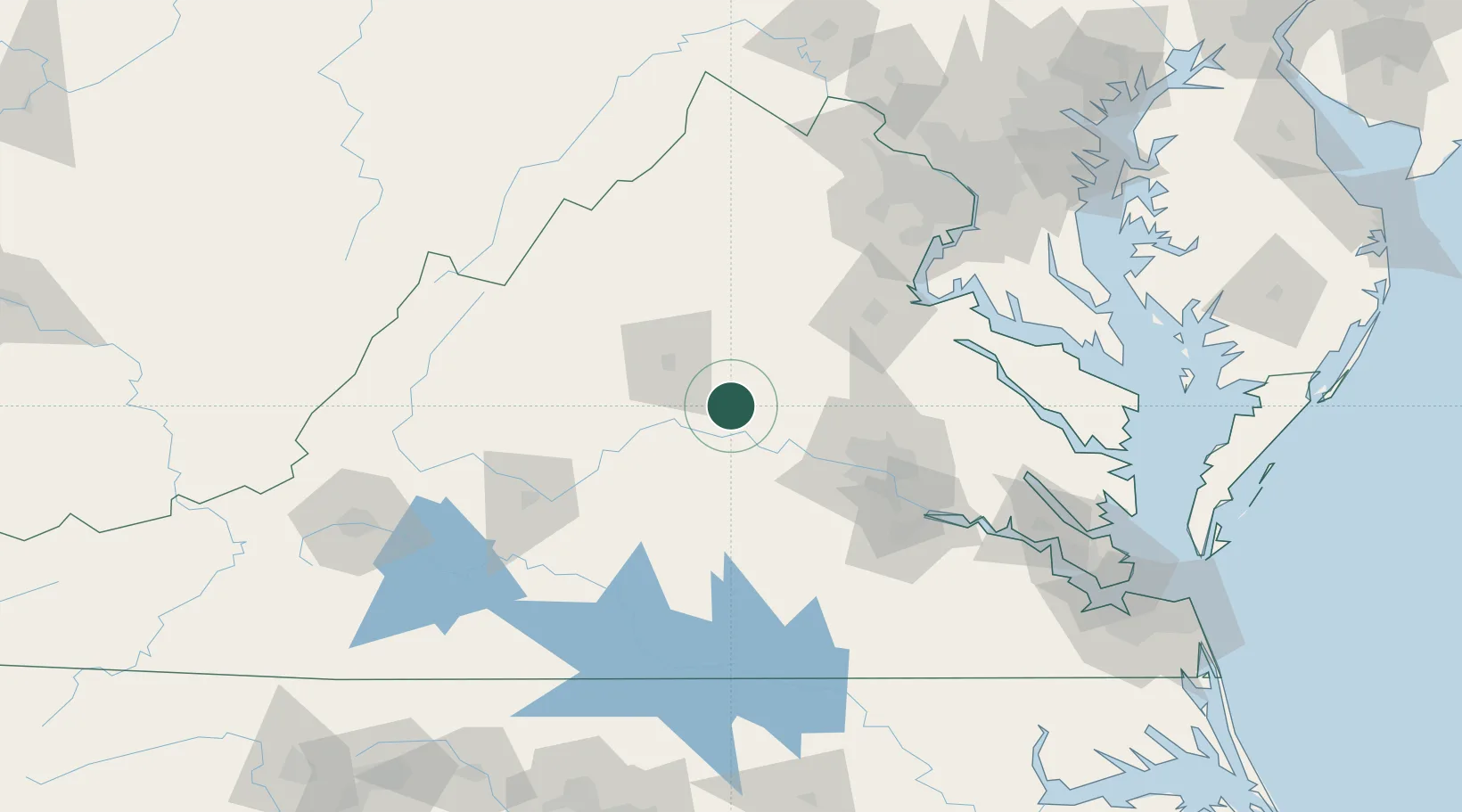
Virginia
Time zone
America/New_York
Elevation
124 m
Location
Nearby Logistics Neighbours
Cities
- 1Troy12 km
- 2Fork Union12 km
- 3Hadensville18 km
- 4Trevilians25 km
- 5Scottsville26 km
Ports
- 1Richmond77 km
- 2Fredericksburg83 km
- 3West Point128 km
- 4Alexandria147 km
- 5Piney Point149 km
Airports
Trade Zones
DatabookThe Record of Consolidated Knowledge
United States beyond logistics?