UN/LOCODE hub · United States
USTSE
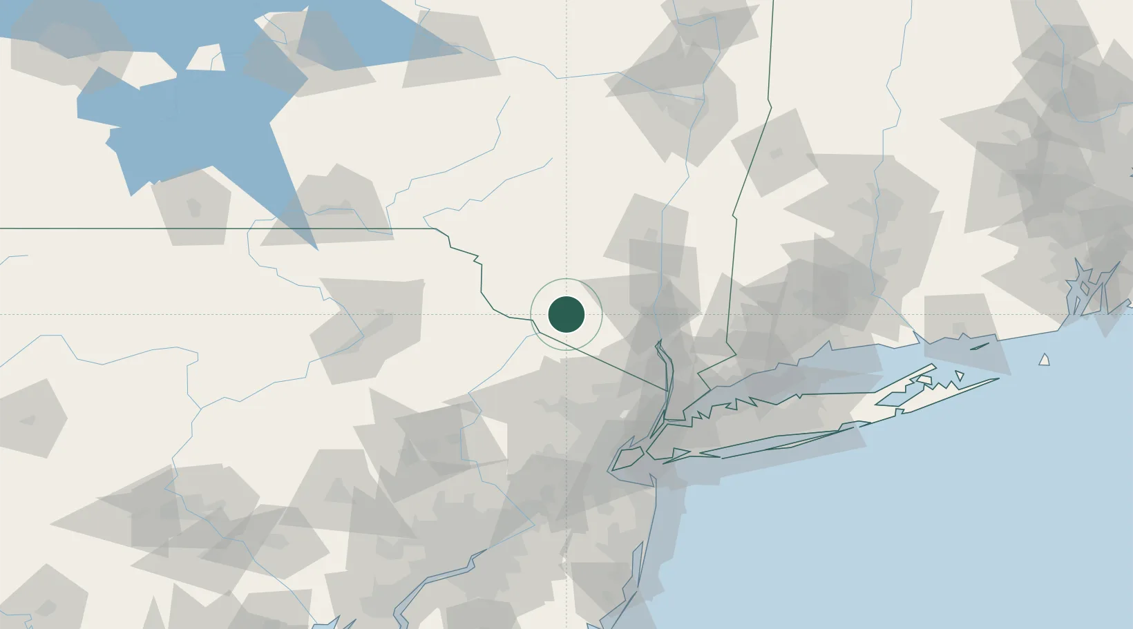
Otisville
41.4667°, -74.5333°
1,046
Population
2
Transport functions
Transport Functions
Rail
Road
Hub Profile
Place type
Populated place
Region
New York
Population
1,046
Time zone
America/New_York
Elevation
260 m
Location
Nearby Logistics Neighbours
Cities
- 1Huguenot10 km
- 2Wurtsboro12 km
- 3Phillipsburg16 km
- 4Sparrow Bush17 km
- 5Goshen20 km
Ports
- 1Newburgh45 km
- 2Poughkeepsie55 km
- 3Kingston70 km
- 4Yonkers80 km
- 5Edgewater86 km
Airports
Trade Zones
- 1FTZ No. 037 Orange County33 km
- 2FTZ No. 044 Morris County72 km
- 3FTZ No. 049 Newark Elizabeth91 km
- 4FTZ No. 001 New York City95 km
- 5FTZ No. 024 Pittston108 km
DatabookThe Record of Consolidated Knowledge
United States beyond logistics?