UN/LOCODE hub · United States
USPWU
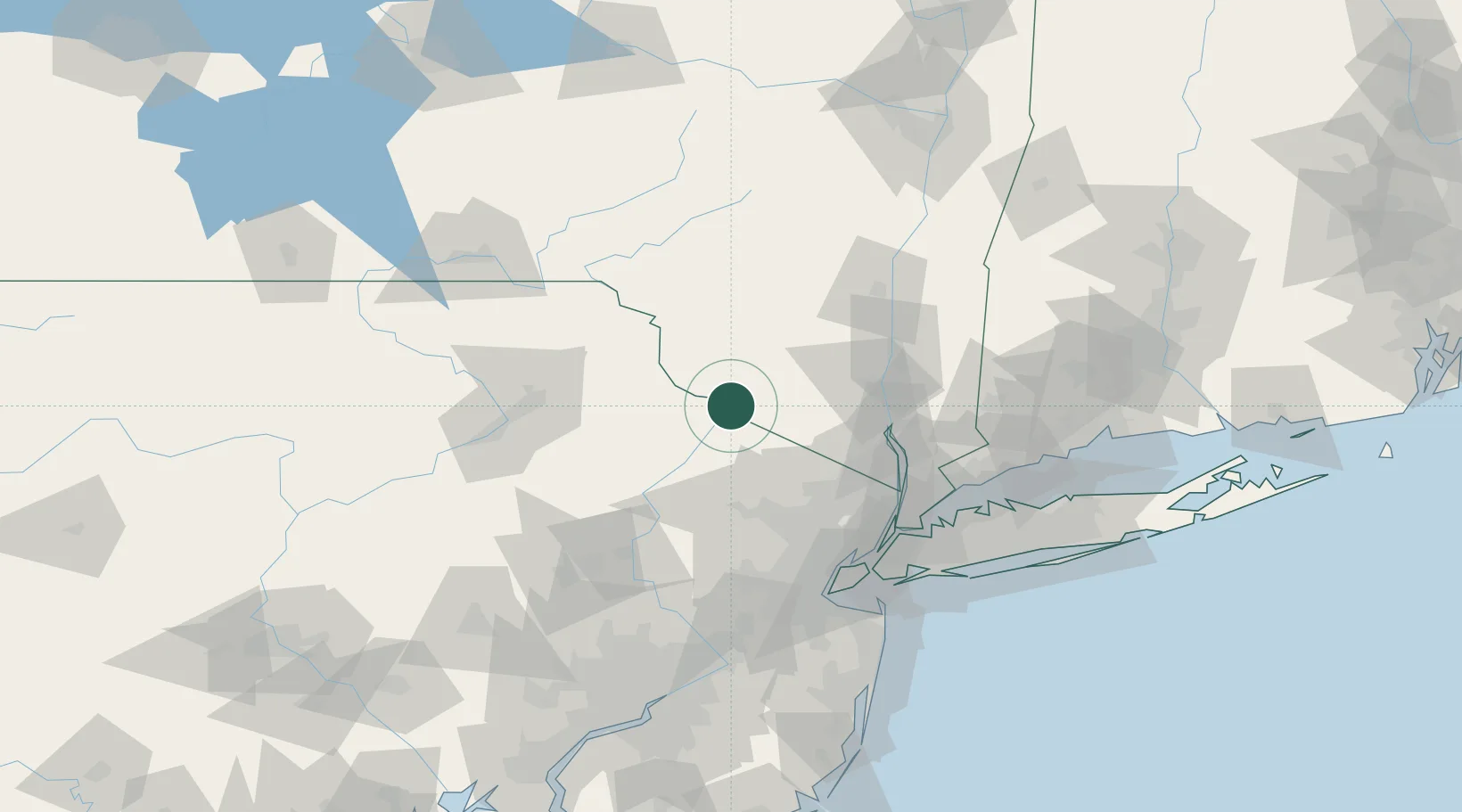
Sparrow Bush
41.4000°, -74.7167°
2,097
Population
2
Transport functions
Transport Functions
Rail
Road
Hub Profile
Place type
Populated place
Region
New York
Population
2,097
Time zone
America/New_York
Elevation
155 m
Location
Nearby Logistics Neighbours
Cities
- 1Huguenot7 km
- 2Otisville17 km
- 3Greeley22 km
- 4Wurtsboro27 km
- 5Branchville30 km
Ports
- 1Newburgh61 km
- 2Poughkeepsie72 km
- 3Yonkers86 km
- 4Kingston86 km
- 5Edgewater89 km
Airports
Trade Zones
DatabookThe Record of Consolidated Knowledge
United States beyond logistics?