Transport Functions
Port
Rail
Road
Hub Profile
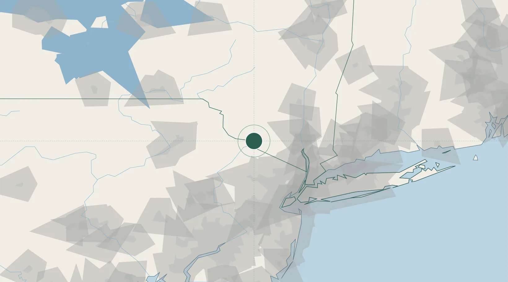
Place type
Populated place
Region
New York
Time zone
America/New_York
Elevation
143 m
Location
Nearby Logistics Neighbours
Cities
- 1Sparrow Bush7 km
- 2Otisville10 km
- 3Wurtsboro21 km
- 4Phillipsburg24 km
- 5Goshen27 km
Ports
- 1Newburgh54 km
- 2Poughkeepsie65 km
- 3Kingston80 km
- 4Yonkers82 km
- 5Edgewater86 km
Airports
Trade Zones
DatabookThe Record of Consolidated Knowledge
United States beyond logistics?