Transport Functions
Rail
Road
Hub Profile
Place type
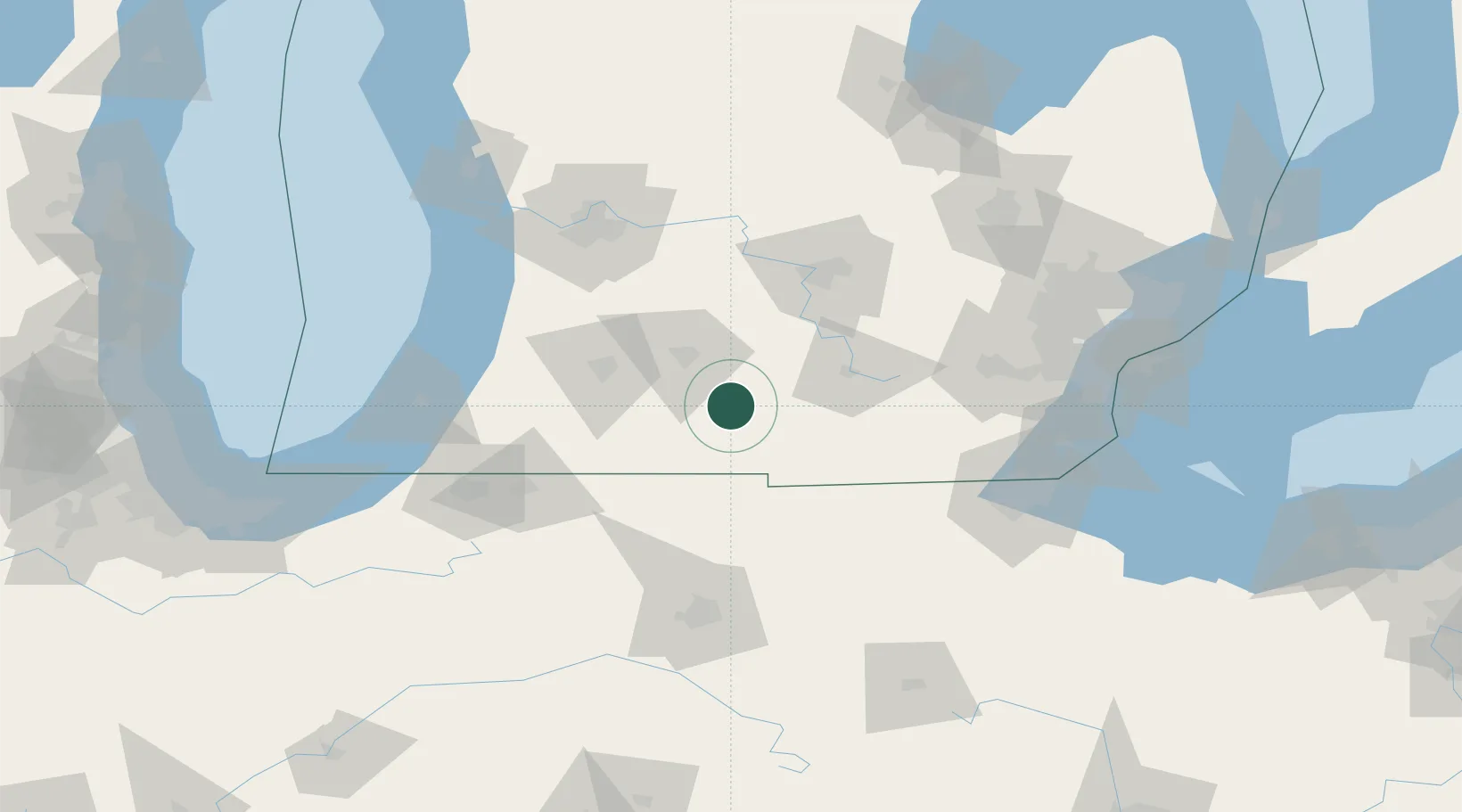
Populated place
Region
Michigan
Population
704
Time zone
America/Detroit
Elevation
286 m
Location
Nearby Logistics Neighbours
Cities
- 1Athens21 km
- 2Springfield, Calhoun33 km
- 3Fremont41 km
- 4Orland42 km
- 5Osseo42 km
Ports
- 1South Haven113 km
- 2Holland122 km
- 3St Joseph124 km
- 4Toledo133 km
- 5Monroe138 km
Airports
Trade Zones
- 1FTZ No. 043 Battle Creek38 km
- 2FTZ No. 101 Clinton County98 km
- 3FTZ No. 182 Fort Wayne114 km
- 4FTZ No. 125 South Bend122 km
- 5FTZ No. 008 Toledo129 km
DatabookThe Record of Consolidated Knowledge
United States beyond logistics?