Transport Functions
Rail
Road
Hub Profile
Region
MI
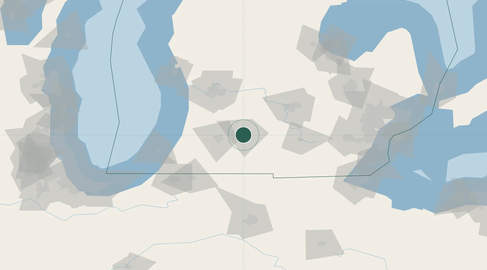
Location
Nearby Logistics Neighbours
Ports
- 1South Haven87 km
- 2Holland90 km
- 3St Joseph105 km
- 4Grand Haven117 km
- 5Muskegon132 km
Airports
Trade Zones
DatabookThe Record of Consolidated Knowledge
United States beyond logistics?