Transport Functions
Rail
Road
Hub Profile
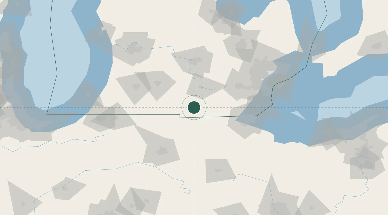
Place type
Populated place
Region
Michigan
Time zone
America/Detroit
Elevation
337 m
Location
Nearby Logistics Neighbours
Cities
- 1Clayton27 km
- 2Alvordton28 km
- 3Holiday City30 km
- 4Onsted33 km
- 5Morris Plains34 km
Ports
- 1Toledo92 km
- 2Monroe101 km
- 3Trenton118 km
- 4Wyandotte121 km
- 5Amherstburg122 km
Airports
Trade Zones
- 1FTZ No. 043 Battle Creek79 km
- 2FTZ No. 008 Toledo88 km
- 3FTZ No. 182 Fort Wayne108 km
- 4FTZ No. 151 Findlay117 km
- 5FTZ No. 101 Clinton County119 km
DatabookThe Record of Consolidated Knowledge
United States beyond logistics?