Transport Functions
Rail
Road
Hub Profile
Place type
Populated place
Region
Indiana
Population
2,153
Time zone
America/Indiana/Indianapolis
Elevation
322 m
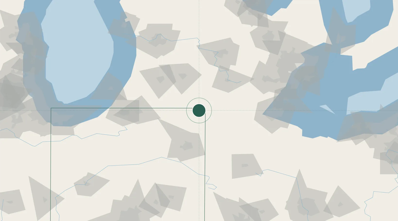
Location
Nearby Logistics Neighbours
Cities
- 1Pleasant Lake18 km
- 2Orland21 km
- 3Ashley24 km
- 4Hudson26 km
- 5Morris Plains30 km
Ports
- 1Toledo120 km
- 2Monroe133 km
- 3South Haven136 km
- 4St Joseph137 km
- 5Trenton152 km
Airports
Trade Zones
- 1FTZ No. 043 Battle Creek75 km
- 2FTZ No. 182 Fort Wayne77 km
- 3FTZ No. 008 Toledo115 km
- 4FTZ No. 125 South Bend119 km
- 5FTZ No. 151 Findlay126 km
DatabookThe Record of Consolidated Knowledge
United States beyond logistics?