Transport Functions
Road
Multimodal
Hub Profile
Place type
Populated place
Region
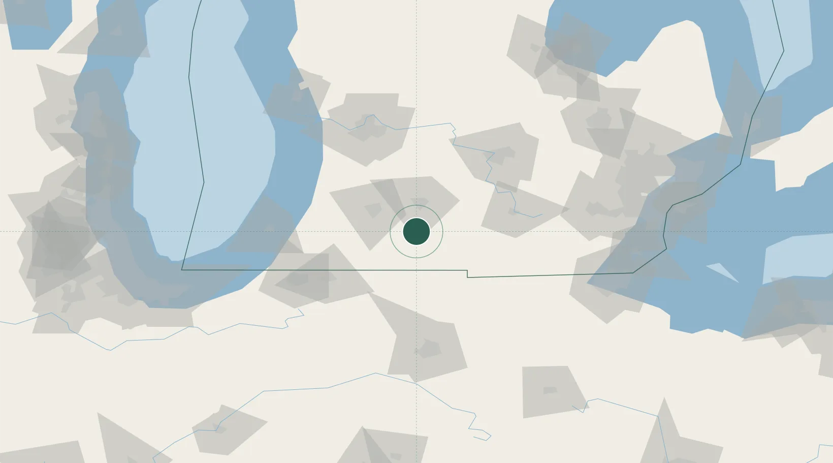
Michigan
Population
1,007
Time zone
America/Detroit
Elevation
271 m
Location
Nearby Logistics Neighbours
Cities
- 1Tekonsha21 km
- 2Vicksburg24 km
- 3Springfield, Calhoun26 km
- 4Centreville30 km
- 5Mendon38 km
Ports
- 1South Haven93 km
- 2St Joseph103 km
- 3Holland107 km
- 4Grand Haven137 km
- 5Michigan City143 km
Airports
Trade Zones
- 1FTZ No. 043 Battle Creek29 km
- 2FTZ No. 125 South Bend103 km
- 3FTZ No. 101 Clinton County104 km
- 4FTZ No. 182 Fort Wayne111 km
- 5FTZ No. 284 Genesee County145 km
DatabookThe Record of Consolidated Knowledge
United States beyond logistics?