UN/LOCODE hub · United States
USOLJ

Orland

41.7333°, -85.1667°
437
Population
2
Transport functions

Transport Functions

Road
Multimodal
UN/LOCODE

Hub Profile

Place type
Populated place
GeoNames
Region
Indiana
GeoNames
Population
437
GeoNames
Time zone
America/Indiana/Indianapolis
GeoNames
Elevation
293 m
GeoNames

Location

Location of USOLJ
Natural Earth 10m (public domain) · Indiana · USOLJ · 41.73, -85.17GoogleOSMYandex

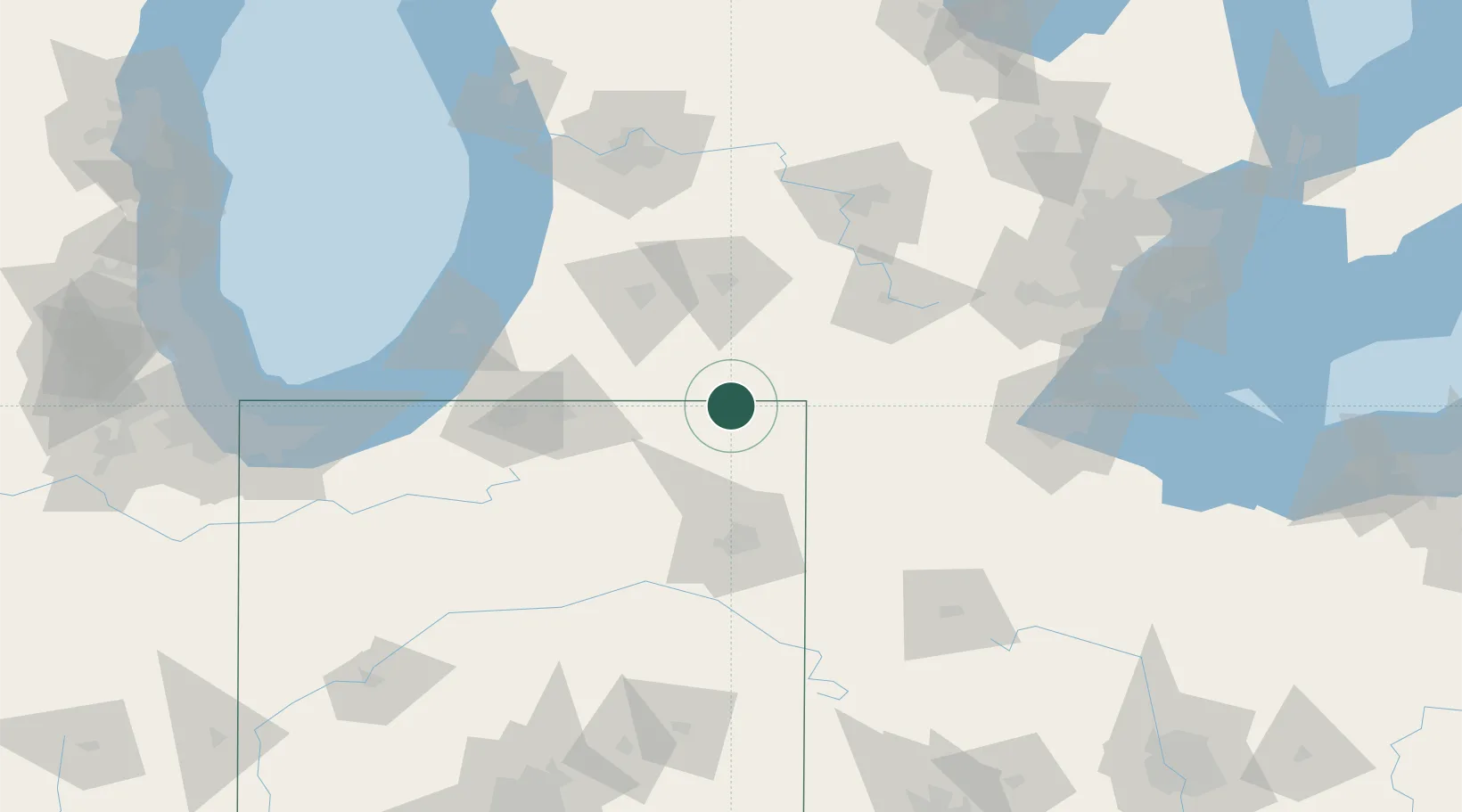
Nearby Logistics Neighbours

Cities
  1. 1Fremont21 km
  2. 2Pleasant Lake23 km
  3. 3South Milford24 km
  4. 4Ashley24 km
  5. 5Hudson26 km
Nearest neighbours — logibook spatial index (haversine) over the source coordinates
Ports
  1. 1St Joseph117 km
  2. 2South Haven118 km
  3. 3Toledo141 km
  4. 4Holland141 km
  5. 5Michigan City144 km
Nearest neighbours — logibook spatial index (haversine) over the source coordinates
Trade Zones
  1. 1FTZ No. 043 Battle Creek68 km
  2. 2FTZ No. 182 Fort Wayne73 km
  3. 3FTZ No. 125 South Bend98 km
  4. 4FTZ No. 008 Toledo136 km
  5. 5FTZ No. 101 Clinton County139 km
Nearest neighbours — logibook spatial index (haversine) over the source coordinates
DatabookThe Record of Consolidated Knowledge
United States beyond logistics?
Browse databook

All Sources

LocationsUN/LOCODE
UN/LOCODE — free
LocationsGeoNames
CC BY 4.0
Portsthe NGA World Port Index
Public domain (US gov)
AirportsOurAirports
Public domain
Trade Zonesthe World Bank SEZ database
CC BY 4.0
Trade ZonesOpen Zone Map
CC BY
← United States locations