UN/LOCODE hub · United States
USIAM
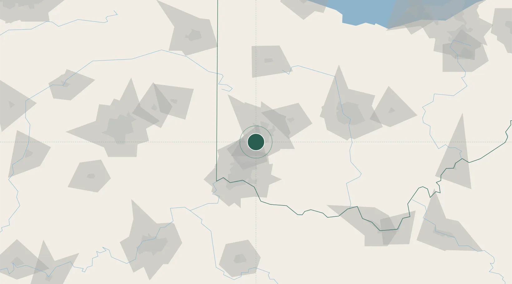
Miamisburg
39.6333°, -84.2833°
20,034
Population
3
Transport functions
Transport Functions
Port
Rail
Road
Hub Profile
Place type
Populated place
Region
Ohio
Population
20,034
Time zone
America/New_York
Elevation
213 m
Location
Nearby Logistics Neighbours
Cities
- 1Germantown7 km
- 2Mayfield, Butler17 km
- 3Trotwood17 km
- 4Bellbrook19 km
- 5Waynesville20 km
Ports
- 1Port Clinton238 km
- 2Toledo240 km
- 3Sandusky242 km
- 4Huron245 km
- 5Put In Bay256 km
Airports
Trade Zones
- 1FTZ No. 100 Dayton18 km
- 2FTZ No. 054 Clinton County48 km
- 3FTZ No. 046 CIncinnati63 km
- 4FTZ No. 047 Boone County91 km
- 5FTZ No. 138 Franklin County117 km
DatabookThe Record of Consolidated Knowledge
United States beyond logistics?