UN/LOCODE hub · United States
USTL6
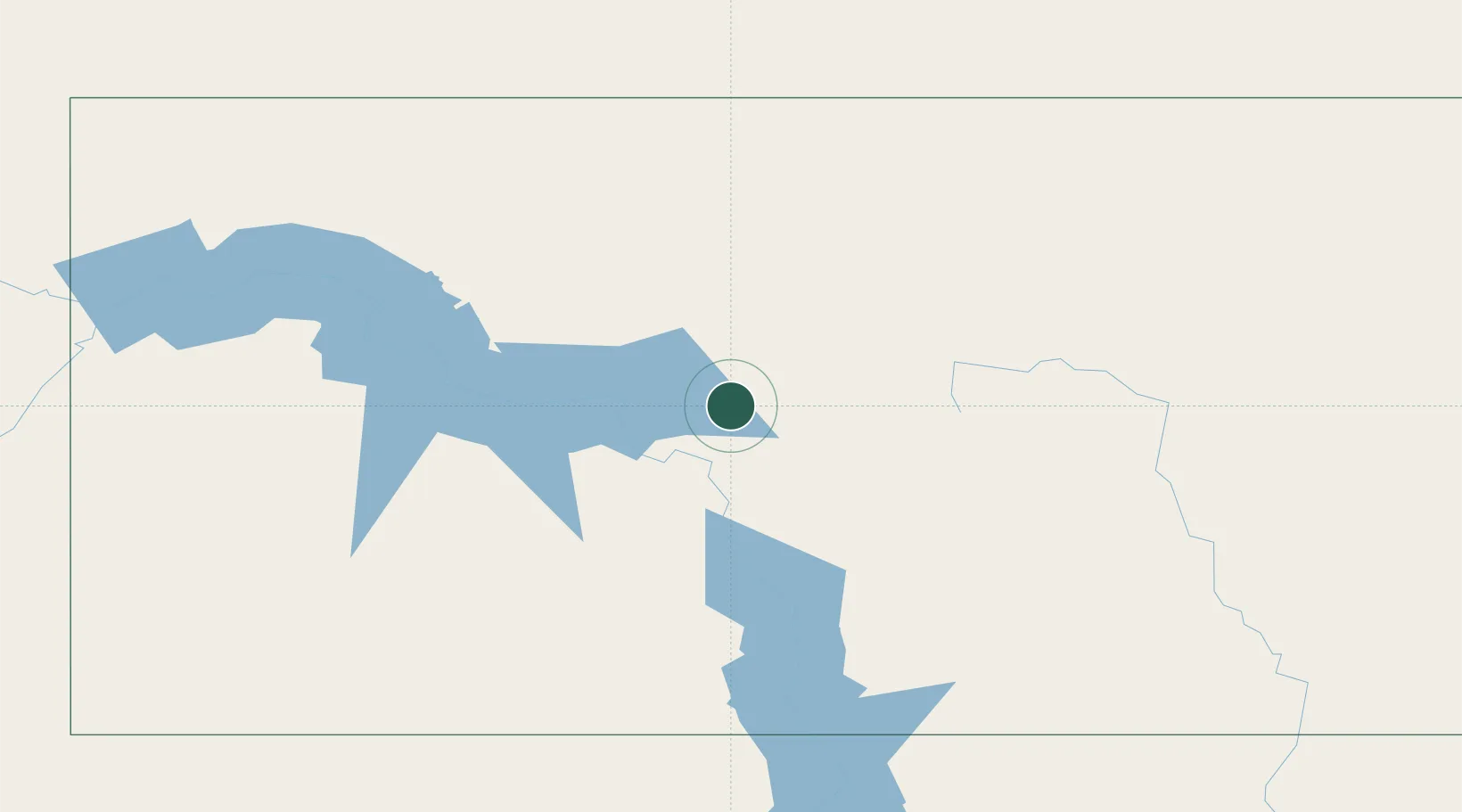
Turtle Lake
47.5167°, -100.8833°
590
Population
1
Transport functions
Transport Functions
Multimodal
Hub Profile
Place type
Populated place
Region
North Dakota
Population
590
Time zone
America/Chicago
Elevation
576 m
Location
Nearby Logistics Neighbours
Cities
- 1Underwood20 km
- 2Beulah73 km
- 3Mandan78 km
- 4Glen Ullin106 km
- 5Hebron112 km
Ports
- 1Duluth669 km
- 2Superior672 km
- 3Two Harbors699 km
- 4Washburn762 km
- 5Bayfield765 km
Airports
Trade Zones
- 1FTZ No. 103 Grand Forks281 km
- 2FTZ No. 267 Fargo305 km
- 3Winnipegs Centreport Canada381 km
- 4Global Transportation Hub Authority431 km
- 5FTZ No. 259 Koochiching County497 km
DatabookThe Record of Consolidated Knowledge
United States beyond logistics?