UN/LOCODE hub · United States
USUND
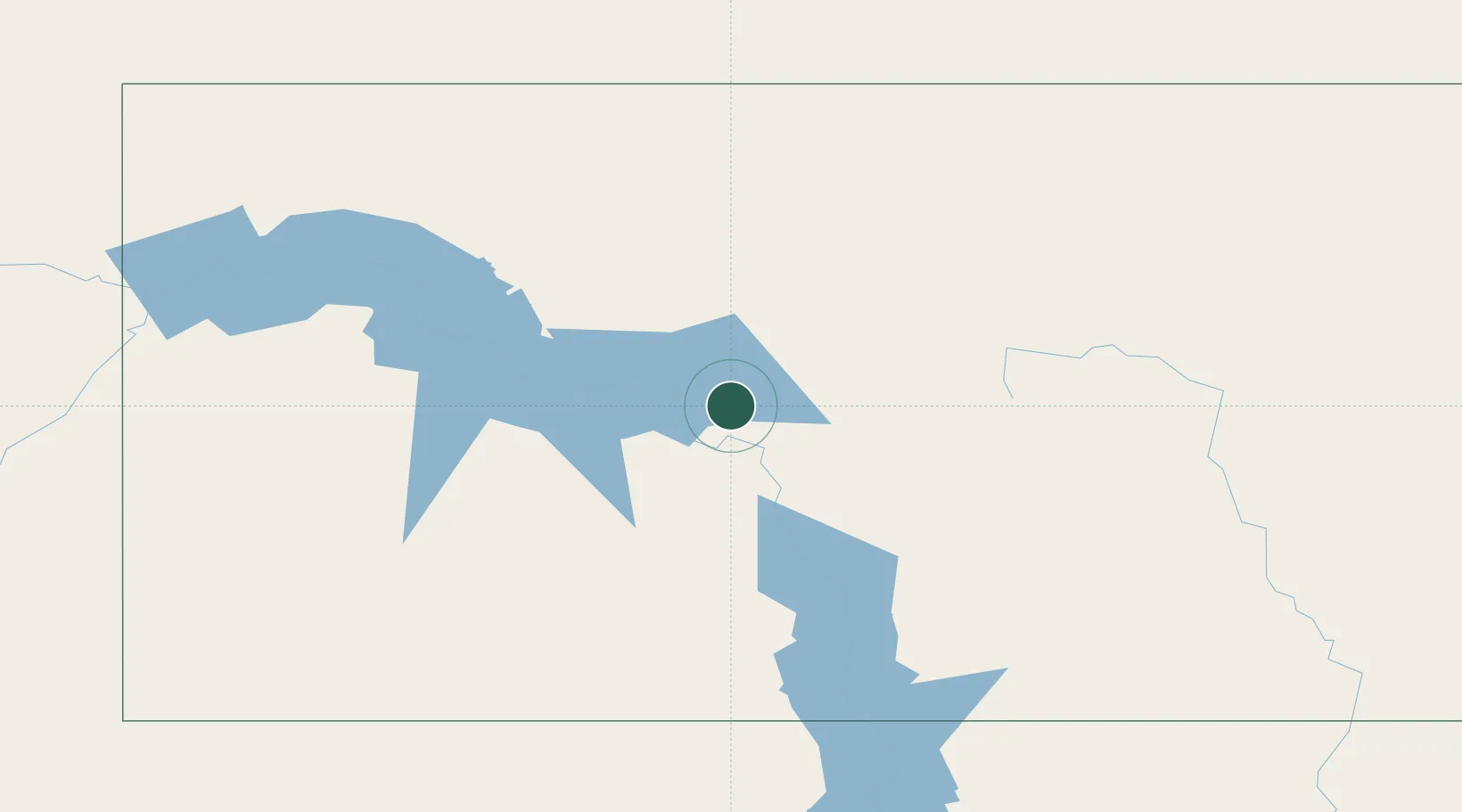
Underwood
47.4500°, -101.1333°
775
Population
3
Transport functions
Transport Functions
Rail
Road
Airport
Hub Profile
Place type
Populated place
Region
North Dakota
Population
775
Time zone
America/Chicago
Elevation
616 m
Location
Nearby Logistics Neighbours
Cities
- 1Turtle Lake20 km
- 2Beulah53 km
- 3Mandan73 km
- 4Glen Ullin88 km
- 5Hebron92 km
Ports
- 1Duluth688 km
- 2Superior691 km
- 3Two Harbors717 km
- 4Washburn781 km
- 5Bayfield783 km
Airports
Trade Zones
- 1FTZ No. 103 Grand Forks301 km
- 2FTZ No. 267 Fargo322 km
- 3Winnipegs Centreport Canada400 km
- 4Global Transportation Hub Authority425 km
- 5FTZ No. 259 Koochiching County517 km
DatabookThe Record of Consolidated Knowledge
United States beyond logistics?