UN/LOCODE hub · United States
USNDN
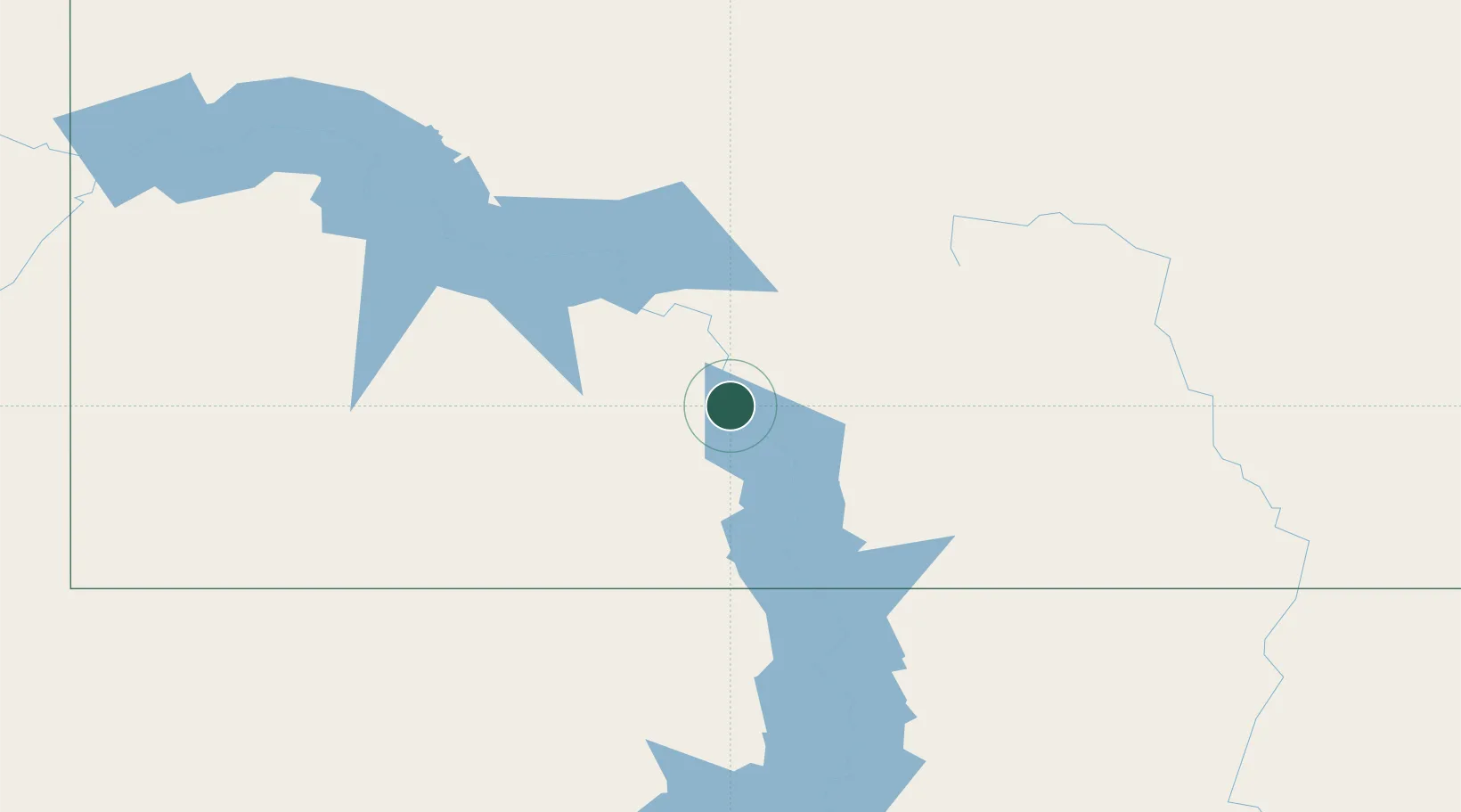
Mandan
46.8167°, -100.8833°
21,382
Population
3
Transport functions
Transport Functions
Rail
Road
Multimodal
Hub Profile
Place type
Provincial seat
Region
North Dakota
Population
21,382
Time zone
America/North_Dakota/New_Salem
Elevation
502 m
Location
Nearby Logistics Neighbours
Cities
- 1Glen Ullin72 km
- 2Underwood73 km
- 3Turtle Lake78 km
- 4Beulah83 km
- 5Hebron89 km
Ports
- 1Duluth668 km
- 2Superior671 km
- 3Two Harbors701 km
- 4Washburn762 km
- 5Ashland764 km
Airports
Trade Zones
- 1FTZ No. 267 Fargo298 km
- 2FTZ No. 103 Grand Forks305 km
- 3Winnipegs Centreport Canada440 km
- 4FTZ No. 220 Sioux Falls484 km
- 5Global Transportation Hub Authority493 km
DatabookThe Record of Consolidated Knowledge
United States beyond logistics?