Transport Functions
Rail
Road
Multimodal
Hub Profile
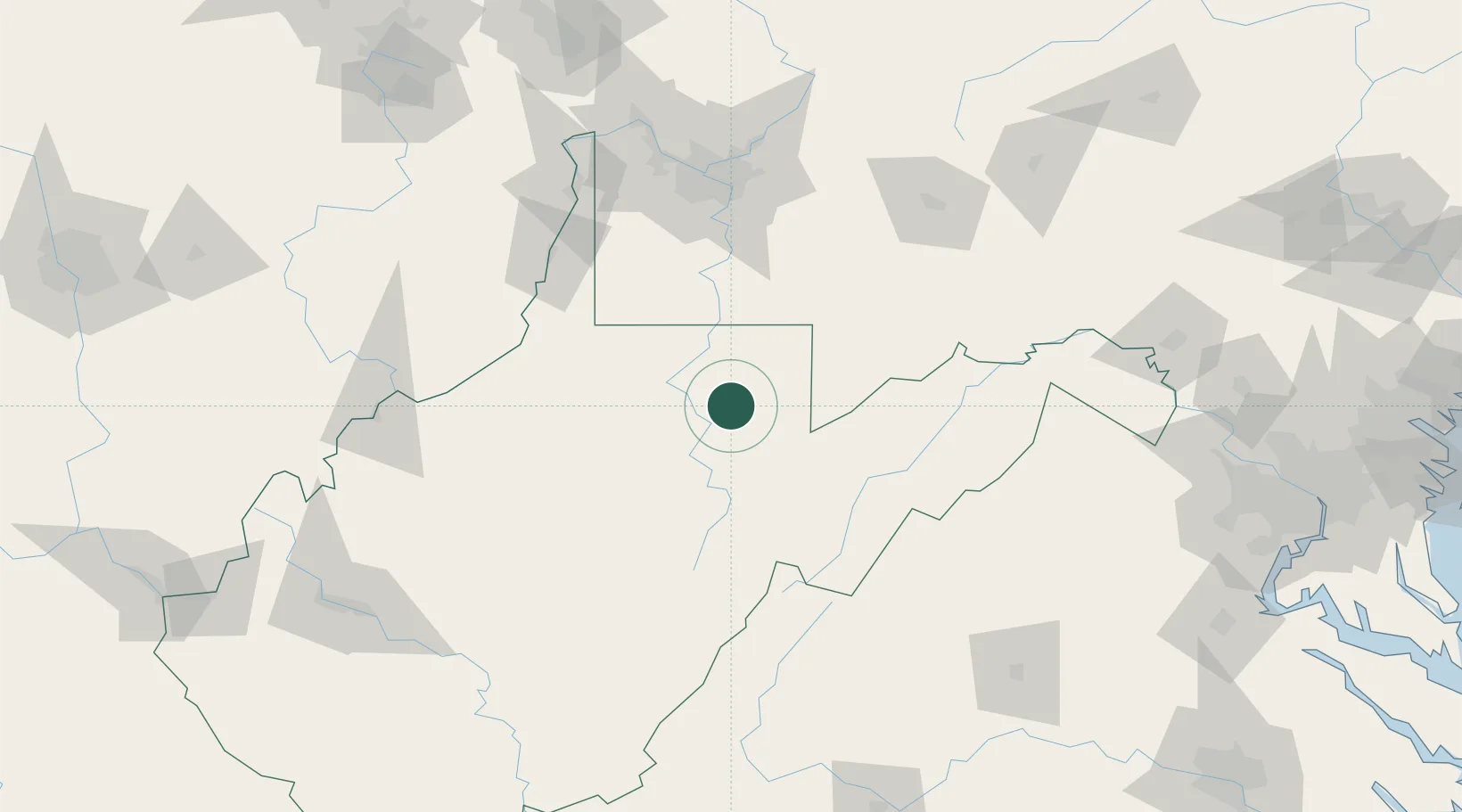
Place type
Populated place
Region
West Virginia
Time zone
America/New_York
Elevation
404 m
Location
Nearby Logistics Neighbours
Cities
- 1Grafton13 km
- 2Reedsville21 km
- 3Masontown25 km
- 4Worthington35 km
- 5Bellington37 km
Ports
- 1Fredericksburg239 km
- 2Washington D.C.250 km
- 3Alexandria252 km
- 4Baltimore283 km
- 5Cleveland287 km
Airports
Trade Zones
DatabookThe Record of Consolidated Knowledge
United States beyond logistics?