UN/LOCODE hub · United States
USFMR
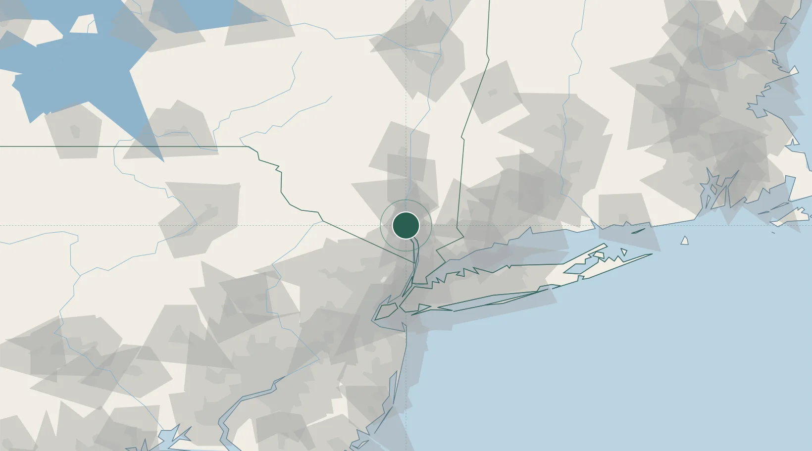
Fort Montgomery
41.3167°, -73.9833°
1,571
Population
1
Transport functions
Transport Functions
Multimodal
Hub Profile
Place type
Populated place
Region
New York
Population
1,571
Time zone
America/New_York
Elevation
49 m
Location
Nearby Logistics Neighbours
Cities
- 1Highland Falls6 km
- 2Tomkins Cove7 km
- 3West Point8 km
- 4Garrison9 km
- 5Buchanan9 km
Ports
- 1Newburgh20 km
- 2Poughkeepsie43 km
- 3Yonkers43 km
- 4Port Chester44 km
- 5Greenwich45 km
Airports
Trade Zones
DatabookThe Record of Consolidated Knowledge
United States beyond logistics?