UN/LOCODE hub · United States
USGBL
Braselton
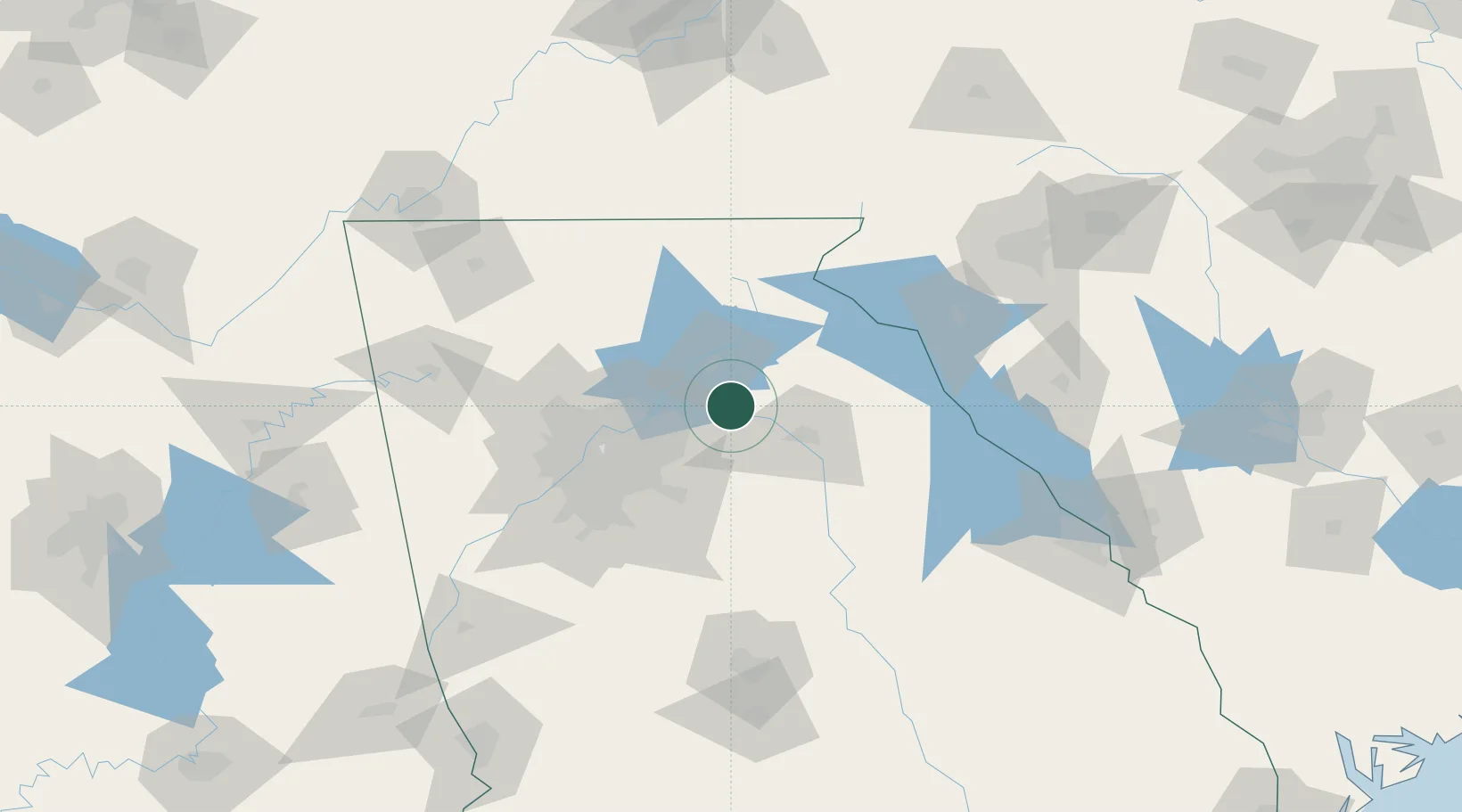
34.1000°, -83.7500°
9,476
Population
2
Transport functions
Transport Functions
Road
Multimodal
Hub Profile
Place type
Populated place
Region
Georgia
Population
9,476
Time zone
America/New_York
Elevation
277 m
Location
Nearby Logistics Neighbours
Cities
- 1Talmo10 km
- 2Jefferson, Jackson16 km
- 3Bethlehem19 km
- 4Statham23 km
- 5Gillsville25 km
Ports
- 1Savannah335 km
- 2Beaufort341 km
- 3Port Royal344 km
- 4Darien373 km
- 5Charleston385 km
Airports
Trade Zones
- 1FTZ No. 026 Atlanta70 km
- 2FTZ No. 038 Spartanburg County163 km
- 3FTZ No. 134 Chattanooga186 km
- 4FTZ No. 148 Knoxville214 km
- 5FTZ No. 127 West Columbia242 km
DatabookThe Record of Consolidated Knowledge
United States beyond logistics?