UN/LOCODE hub · United States
USSG3
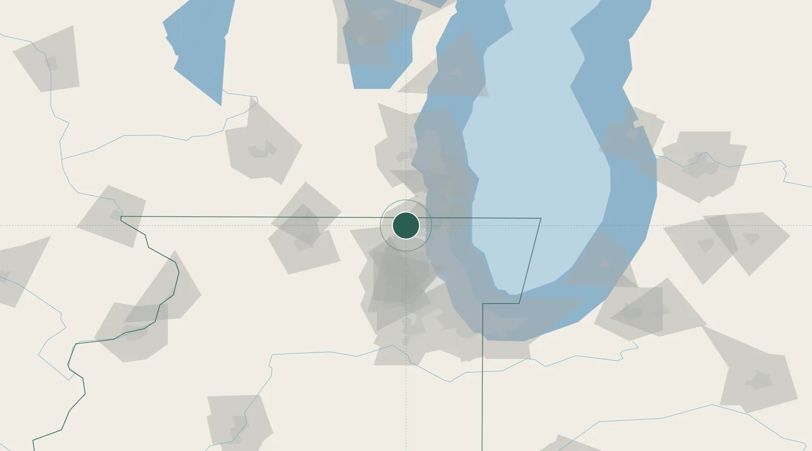
Spring Grove
42.4333°, -88.1833°
5,711
Population
2
Transport functions
Transport Functions
Port
Road
Hub Profile
Place type
Populated place
Region
Illinois
Population
5,711
Time zone
America/Chicago
Elevation
233 m
Location
Nearby Logistics Neighbours
Ports
- 1Waukegan31 km
- 2Great Lakes32 km
- 3Kenosha34 km
- 4Racine47 km
- 5Wilmette57 km
Airports
Trade Zones
- 1FTZ No. 292 Lake County27 km
- 2FTZ No. 041 Milwaukee70 km
- 3FTZ No. 022 Chicago72 km
- 4FTZ No. 176 Rockford87 km
- 5FTZ No. 152 Burns Harbor124 km
DatabookThe Record of Consolidated Knowledge
United States beyond logistics?