Transport Functions
Port
Multimodal
Hub Profile
Place type
Populated place
Region
Illinois
Time zone
America/Chicago
Elevation
233 m
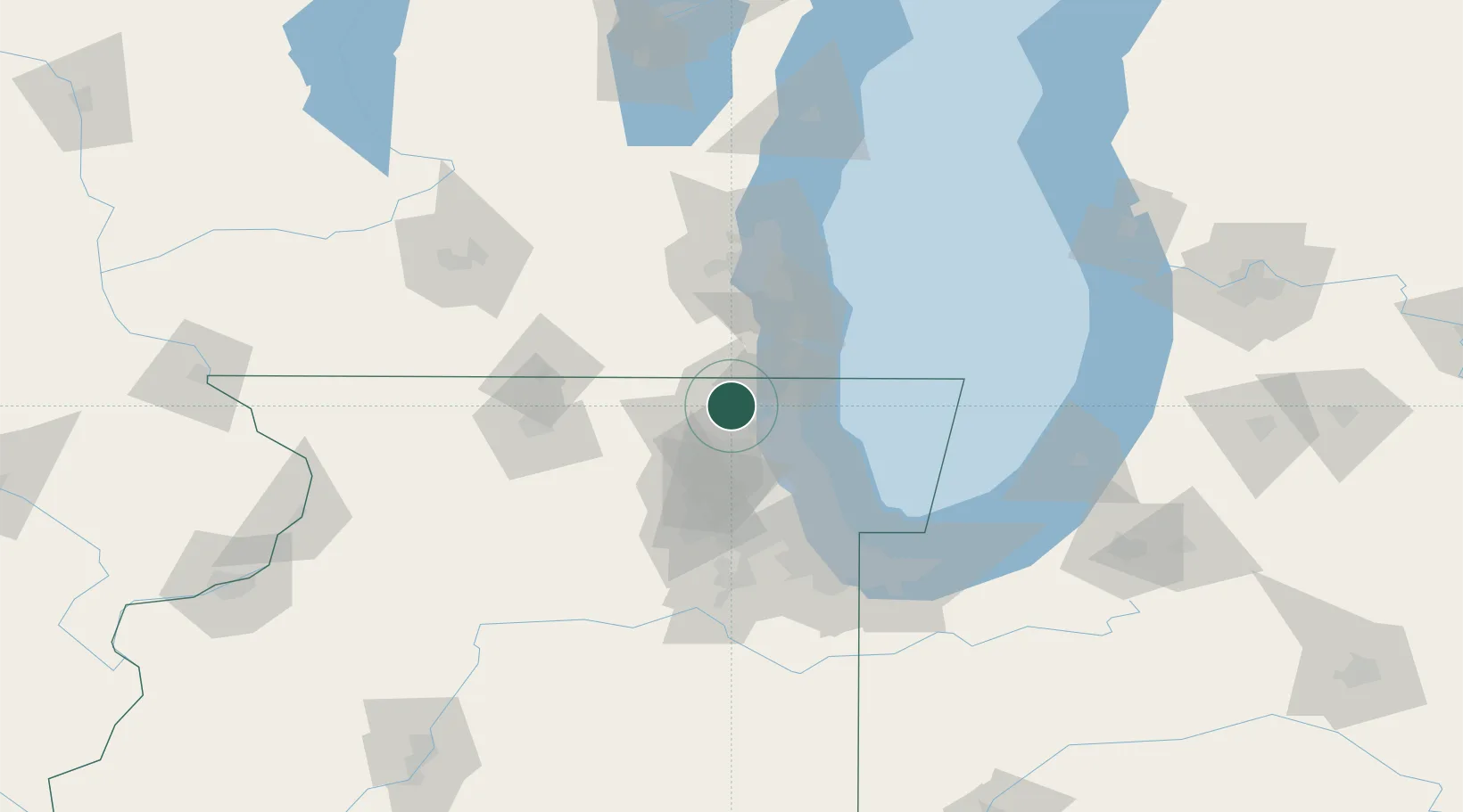
Location
Nearby Logistics Neighbours
Cities
- 1Volo6 km
- 2Spring Grove9 km
- 3Johnsburg10 km
- 4Lindenhurst12 km
- 5Antioch12 km
Ports
- 1Great Lakes26 km
- 2Waukegan26 km
- 3Kenosha35 km
- 4Wilmette49 km
- 5Racine50 km
Airports
Trade Zones
- 1FTZ No. 292 Lake County21 km
- 2FTZ No. 022 Chicago63 km
- 3FTZ No. 041 Milwaukee77 km
- 4FTZ No. 176 Rockford89 km
- 5FTZ No. 152 Burns Harbor115 km
DatabookThe Record of Consolidated Knowledge
United States beyond logistics?