UN/LOCODE hub · United States
USTHU
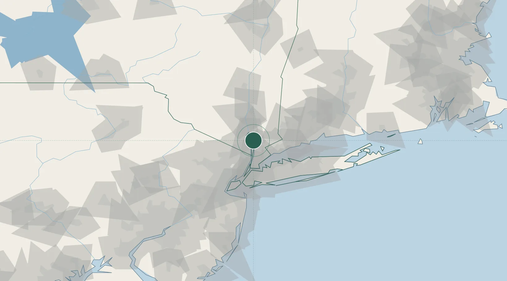
Croton-on-Hudson
41.2000°, -73.8833°
8,269
Population
4
Transport functions
Transport Functions
Port
Rail
Road
Multimodal
Hub Profile
Place type
Populated place
Region
New York
Population
8,269
Time zone
America/New_York
Elevation
49 m
Location
Nearby Logistics Neighbours
Cities
- 1Buchanan7 km
- 2Congers7 km
- 3Briarcliff Manor8 km
- 4Garnerville8 km
- 5Stony Point9 km
Ports
- 1Port Chester29 km
- 2Yonkers30 km
- 3Greenwich30 km
- 4Stamford34 km
- 5Newburgh35 km
Airports
Trade Zones
DatabookThe Record of Consolidated Knowledge
United States beyond logistics?