Transport Functions
Rail
Road
Hub Profile
Place type
Populated place
Region
New York
Population
8,363
Time zone
America/New_York
Elevation
54 m
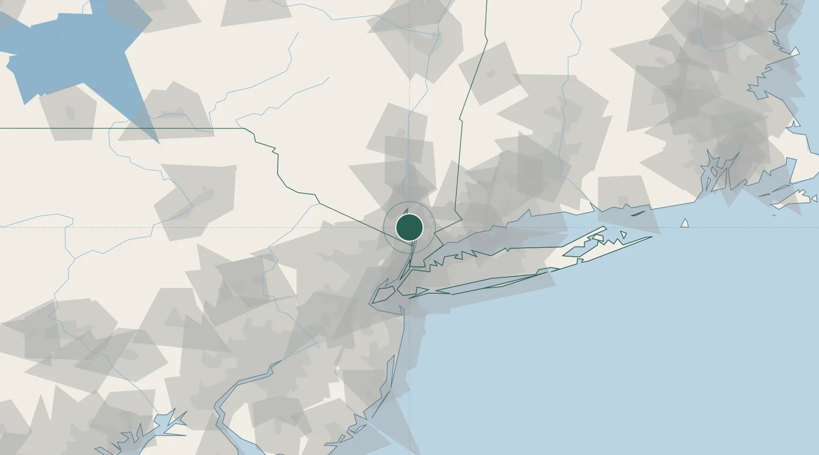
Location
Nearby Logistics Neighbours
Cities
- 1Garnerville7 km
- 2Croton-on-Hudson7 km
- 3Nyack8 km
- 4Sleepy Hollow Manor8 km
- 5Stony Point9 km
Ports
- 1Yonkers24 km
- 2Port Chester28 km
- 3Greenwich30 km
- 4Stamford35 km
- 5City Island36 km
Airports
Trade Zones
DatabookThe Record of Consolidated Knowledge
United States beyond logistics?