Large airport · United States

LaGuardia AirportKLGA
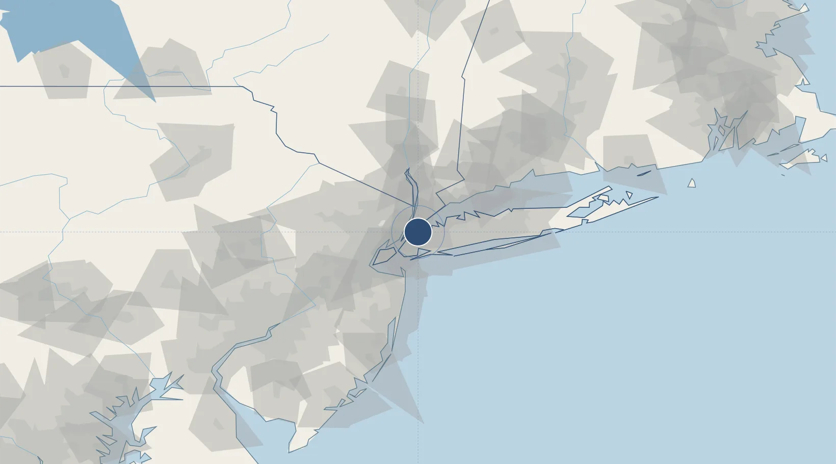
40.7772°, -73.8726°
7,002 ft
Longest runway
2
Runways
21 ft
Elevation

Runway & Layout

LaGuardia Airport runway & taxiway layout
Runway & taxiway layout — OpenStreetMap (ODbL) / OurAirports

Radio Frequencies

ATIS
125.95 MHz
TWR
118.7 MHz
GND
121.7 MHz
CLD
121.875 MHz
CLNC DEL
APP
118 MHz
NEW YORK APP
APP
132.7 MHz
NEW YORK APP
DEP
120.4 MHz
NEW YORK DEP
UNIC
122.95 MHz
UNICOM
OurAirports

Navaids

LG NDB Peths 332 kHz
LGA VOR-DME La Guardia 113.10 MHz
UR NDB Orchy 385 kHz
OurAirports

Runways · 2

RunwayDimensions SurfaceTrue headingLit
04/22 7,002 × 150ft Asphalt 032°
13/31 7,002 × 150ft Asphalt 122°
OurAirports

Airport Specifications

IATA code
LGA
OurAirports
ICAO code
KLGA
OurAirports
Airport class
Large airport
OurAirports
Scheduled service
Yes
OurAirports
Runway surface
Asphalt
OurAirports
Served city
New York
OurAirports

Location

Location of KLGA
Natural Earth 10m (public domain) · New York · KLGA · 40.78, -73.87GoogleOSMYandex

Nearby Logistics Neighbours

Airports
  1. 1East 34th Street Heliport9 km
  2. 2New York Skyports Inc Seaplane Base10 km
  3. 3West 30th Street Heliport12 km
  4. 4John F. Kennedy International Airport17 km
  5. 5Teterboro Airport18 km
Nearest neighbours — logibook spatial index (haversine) over the source coordinates
Cities
  1. 1Port Morris, Bronx5 km
  2. 2Rego Park, Queens5 km
  3. 3Sunnyside, Queens6 km
  4. 4Manhattan/New York8 km
  5. 5Linden Hill9 km
Nearest neighbours — logibook spatial index (haversine) over the source coordinates
Ports
  1. 1Edgewater10 km
  2. 2City Island11 km
  3. 3Weehawken12 km
  4. 4Hoboken13 km
  5. 5New York City15 km
Nearest neighbours — logibook spatial index (haversine) over the source coordinates
Trade Zones
  1. 1FTZ No. 001 New York City14 km
  2. 2FTZ No. 049 Newark Elizabeth27 km
  3. 3FTZ No. 052 Suffolk County59 km
  4. 4FTZ No. 076 Bridgeport72 km
  5. 5FTZ No. 044 Morris County84 km
Nearest neighbours — logibook spatial index (haversine) over the source coordinates
DatabookThe Record of Consolidated Knowledge
United States beyond logistics?
Browse databook

All Sources

AirportsOurAirports
Public domain
Portsthe NGA World Port Index
Public domain (US gov)
LocationsUN/LOCODE
UN/LOCODE — free
Trade Zonesthe World Bank SEZ database
CC BY 4.0
Trade ZonesOpen Zone Map
CC BY
InfrastructureOpenStreetMap
ODbL 1.0
← United States airports